

Projet de recherche : Robert Barnett
Late Holocene sea-level changes on the Magdalen Islands (Iles de la Madeleine)
Summary
A new sea-level record is being produced for the Magdalen Islands in the Gulf of St Lawrence, which will extend sea-level histories beyond tide gauge records and into the last 2000 years. Analysis of modern coastal proxies and their relationship with tidal levels will allow us to define precise elevational limits on a range of sea-level indicators. This research will make use of foraminifera, testate amoebae and plant macrofossils from salt marsh and supratidal settings to provide modern analogues for fossil data from well dated coastal sediment cores. This work fills an important gap in our knowledge of sea-level changes at les Iles de la Madeleine, and will contribute to our abilities to rigorously test models used in 21st century sea-level predictions. The research is a collaboration between the Univeristy of Quebec at Rimouski and GEOTOP at UQAM.
Photos
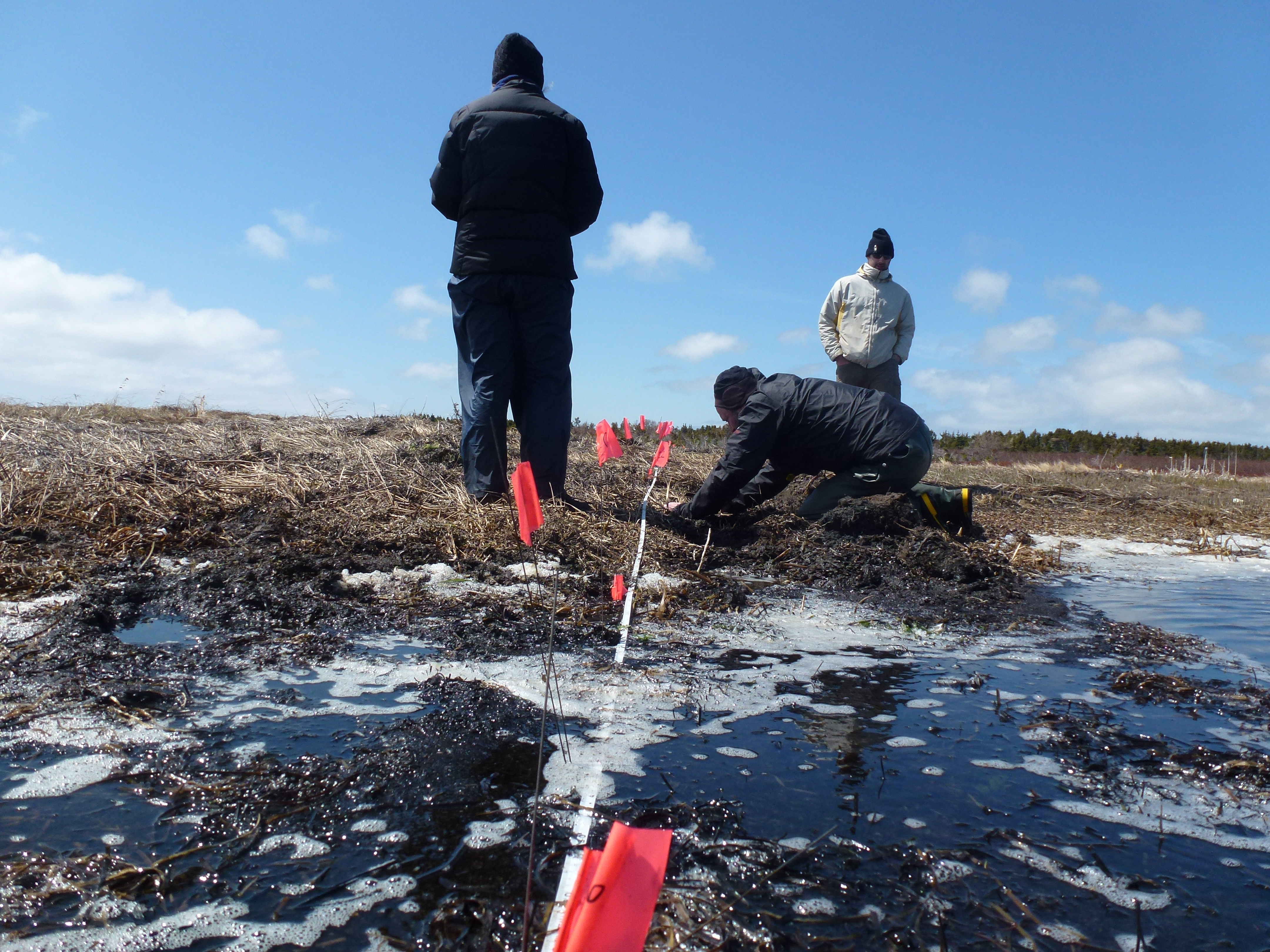
Testing water chemistry in the salt marsh at Bassin, Iles de la Madeleine
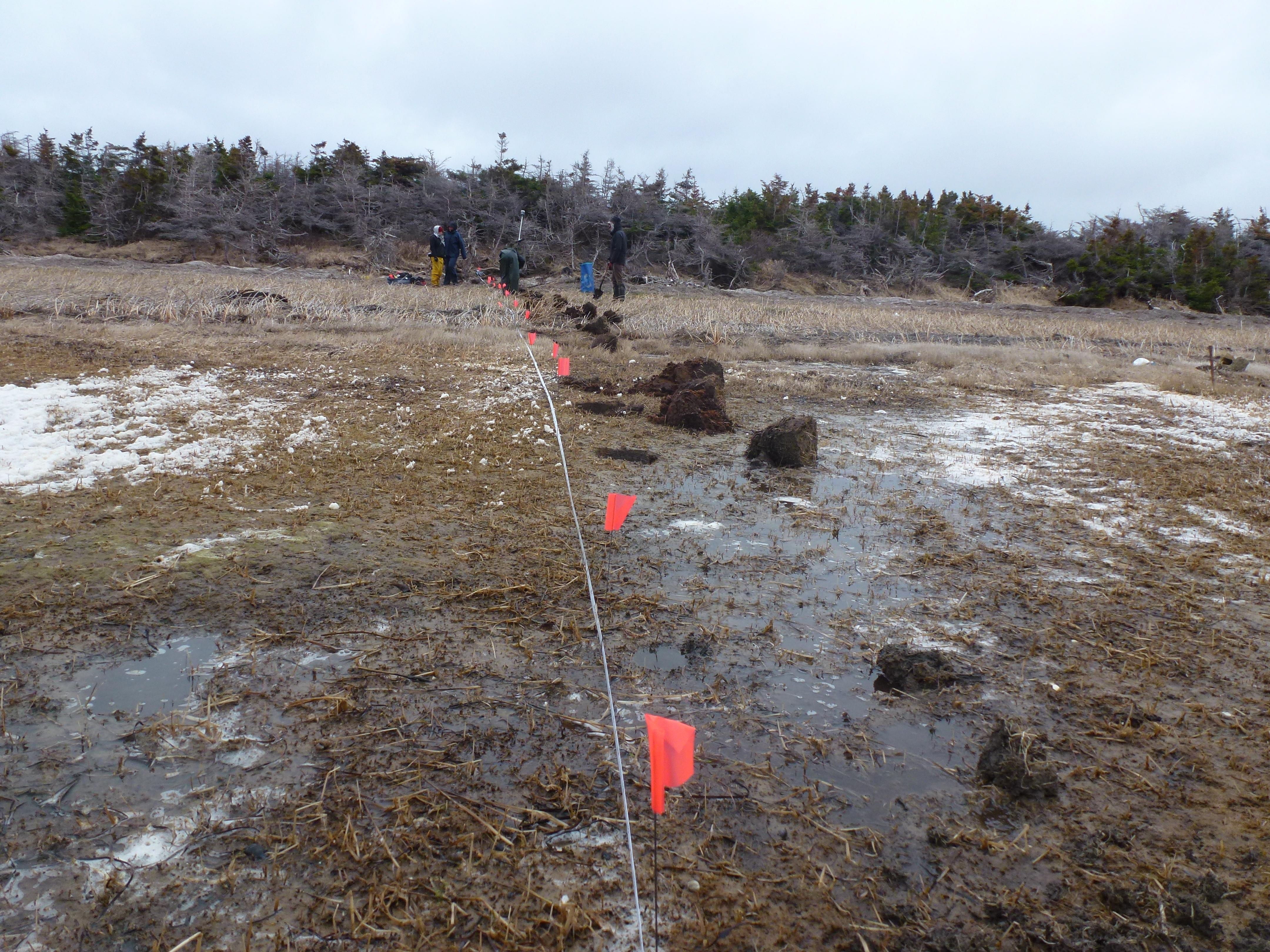
Sampling the modern environment at ‘Les Sillons salt-marsh’, Iles de la Madeleine
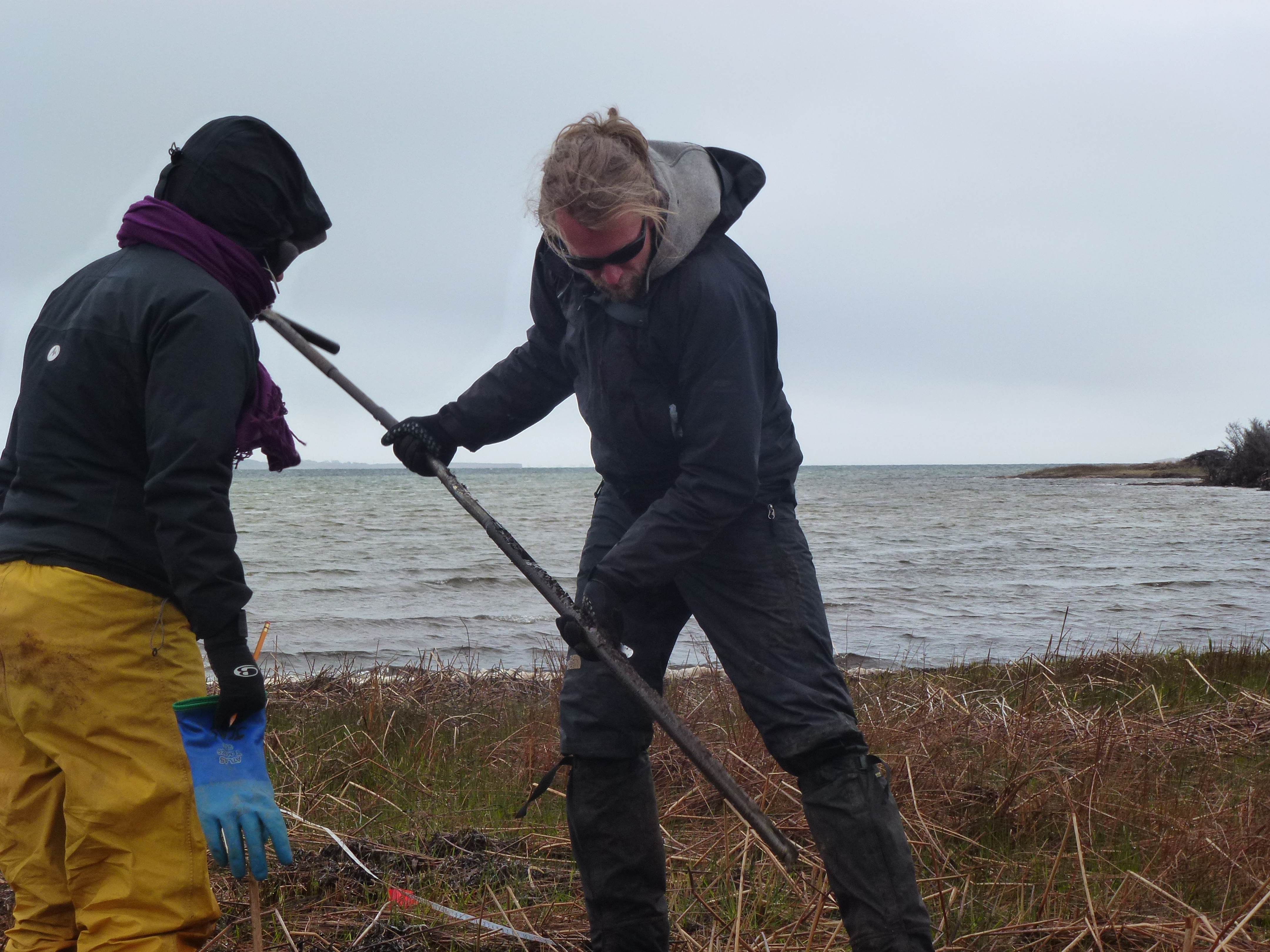
Recording subsurface lithostratigraphy using an eijkelkamp gauge auger
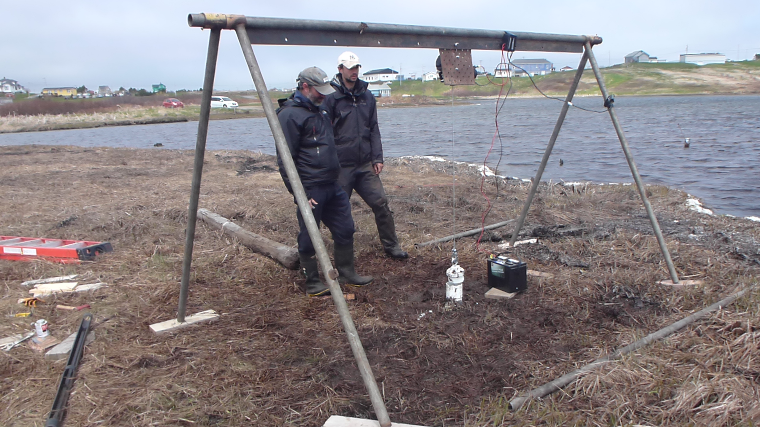
Collecting a sediment core for reconstructing sea levels over the last few thousand years
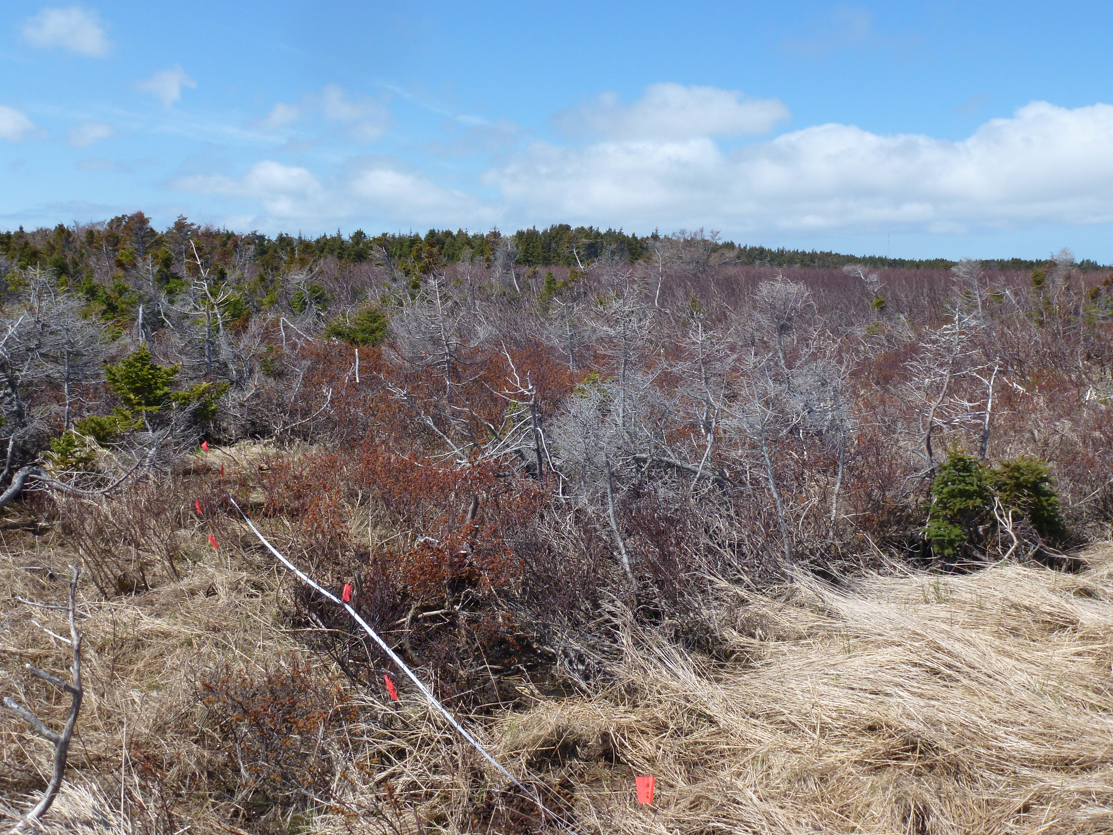
Retreating Alnus trees in the supratidal zone caused by rising sea levels and saline intrusion
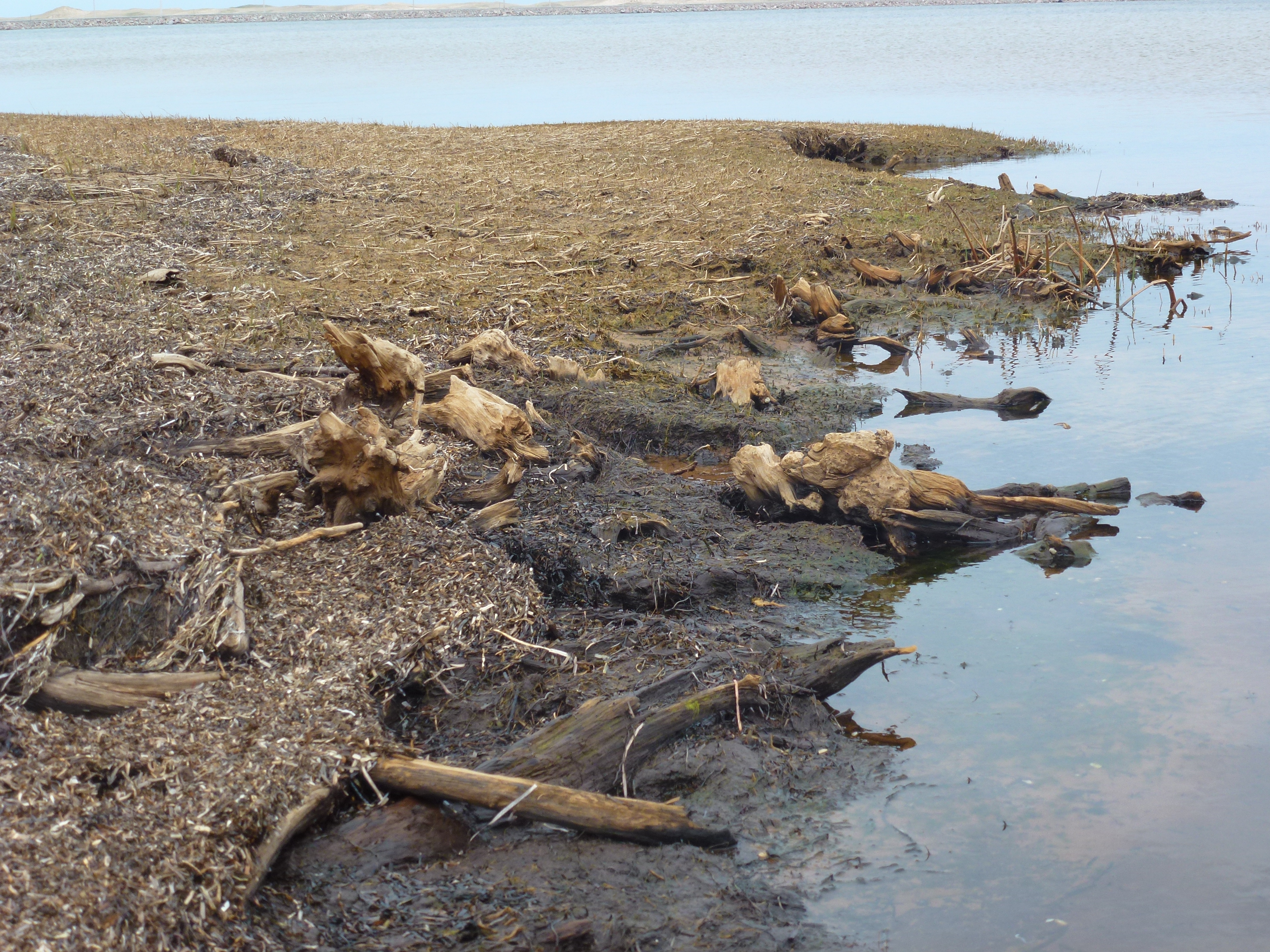
Submerged tree stumps, inundated by marine transgressions
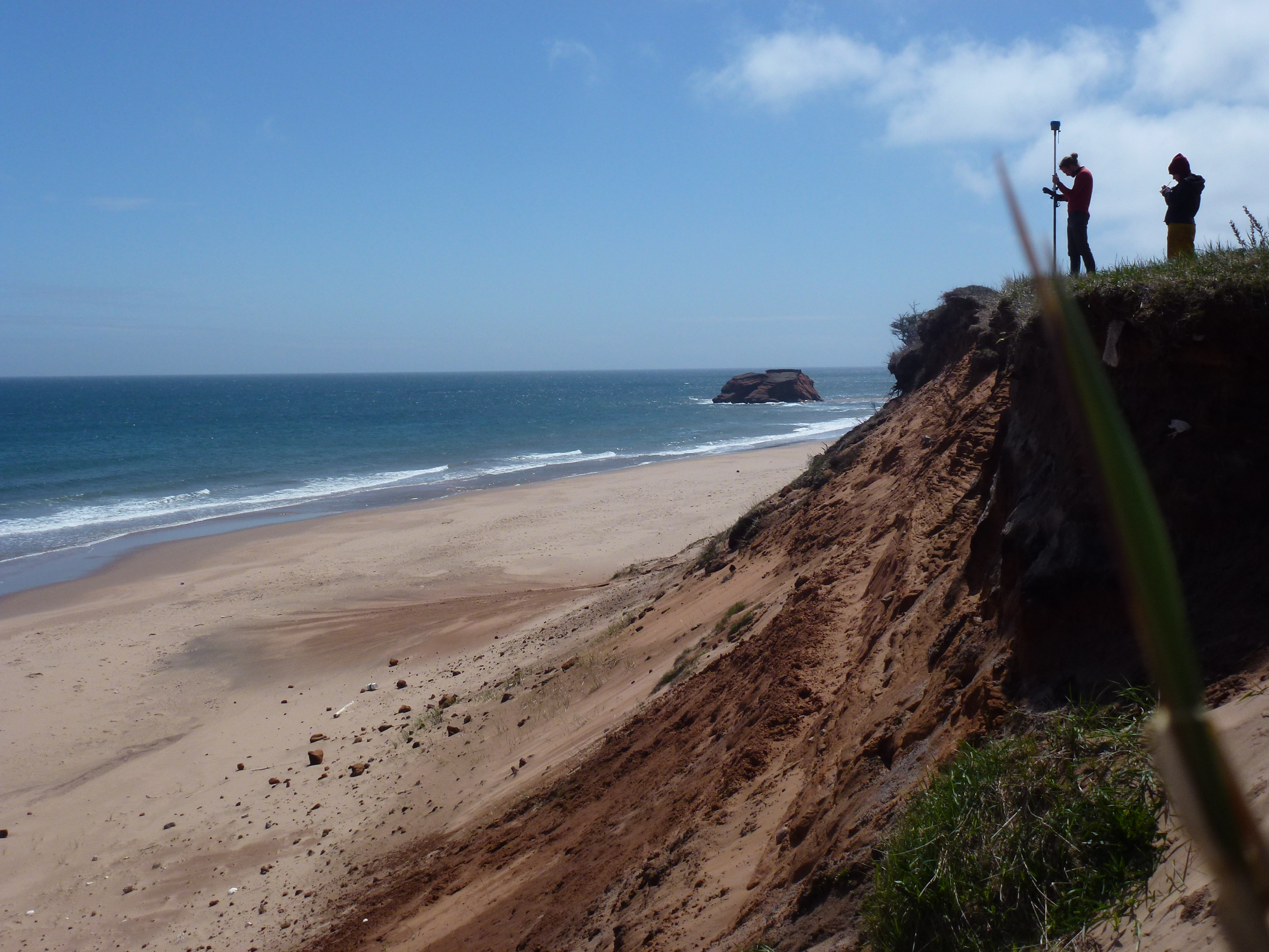
Poorly consolidated Quaternary sediments, at high risk from coastal erosion and sea-level rise