Projet de Recherche: Louis-Martin Pilote
Reconstitution paléoécologique des conditions initiales du développement du complexe tourbeux de Lac-à-la-Tortue, Mauricie, Québec
Résumé
Le projet vise à documenter les conditions holocènes initiales qui ont contribué aux processus de comblement et ultérieurement de paludification d’un paléo-chenal de la rivière Saint-Maurice. Un modèle spatial en 3D du complexe tourbeux sera d’abord conçu à partir de levés au Géoradar, de sondages manuels et de datations basales afin de reconstruire l’évolution spatio-temporelle du complexe tourbeux et d’évaluer la masse totale de carbone qu’il contient. Plusieurs carottes de tourbe seront également prélevées le long de transects perpendiculaires au bassin tourbeux. Les contenus en macrorestes végétaux et en thécamoebiens seront par la suite dénombrés afin de reconstruire le début de la mise en place de la tourbière à partir de l’analyse de l’évolution de la végétation locale et des variations paléohydrologiques associées.
Paleoecological reconstruction of initial development conditions at the Lac-à-la-Tortue peatland complex, Mauricie, Québec
Summary
This project focuses on documenting initial Holocene’s conditions which have contributed to peatland development and following lateral expansion from a paleo-channel of the Saint-Maurice River. A 3D spatial model of the peatland complex will be developed from GPR transects, manual depth probing and basal radiocarbon dates in order to reconstruct the peatland spatial and temporal evolution and quantify its total carbon mass. Several cores will be collected along perpendicular transects to the peat basin. Plant macrofossils and testate amoebae analyses will be realized to reconstruct the initial vegetation succession and paleohydrological conditions.
Projet de recherche : Robert Barnett
Late Holocene sea-level changes on the Magdalen Islands (Iles de la Madeleine)
Summary
A new sea-level record is being produced for the Magdalen Islands in the Gulf of St Lawrence, which will extend sea-level histories beyond tide gauge records and into the last 2000 years. Analysis of modern coastal proxies and their relationship with tidal levels will allow us to define precise elevational limits on a range of sea-level indicators. This research will make use of foraminifera, testate amoebae and plant macrofossils from salt marsh and supratidal settings to provide modern analogues for fossil data from well dated coastal sediment cores. This work fills an important gap in our knowledge of sea-level changes at les Iles de la Madeleine, and will contribute to our abilities to rigorously test models used in 21st century sea-level predictions. The research is a collaboration between the Univeristy of Quebec at Rimouski and GEOTOP at UQAM.
Photos
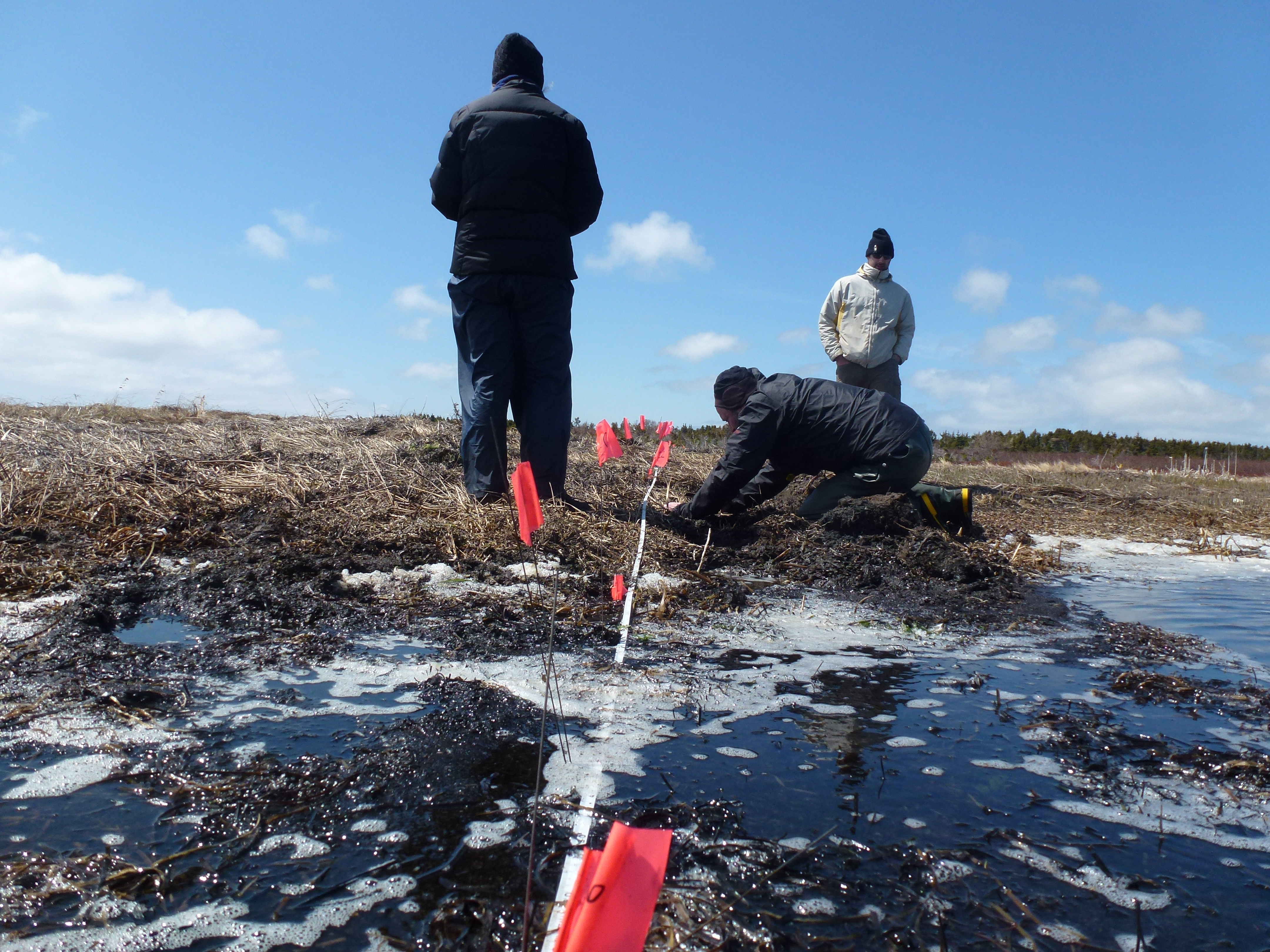
Testing water chemistry in the salt marsh at Bassin, Iles de la Madeleine
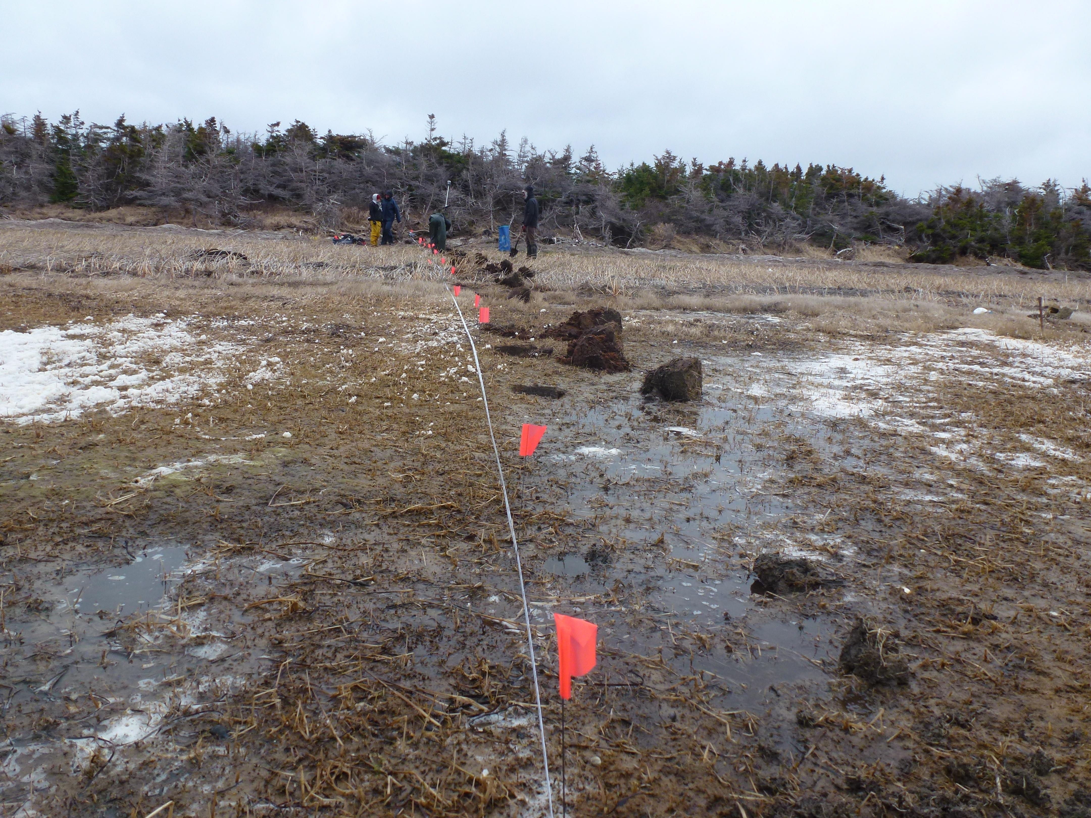
Sampling the modern environment at ‘Les Sillons salt-marsh’, Iles de la Madeleine
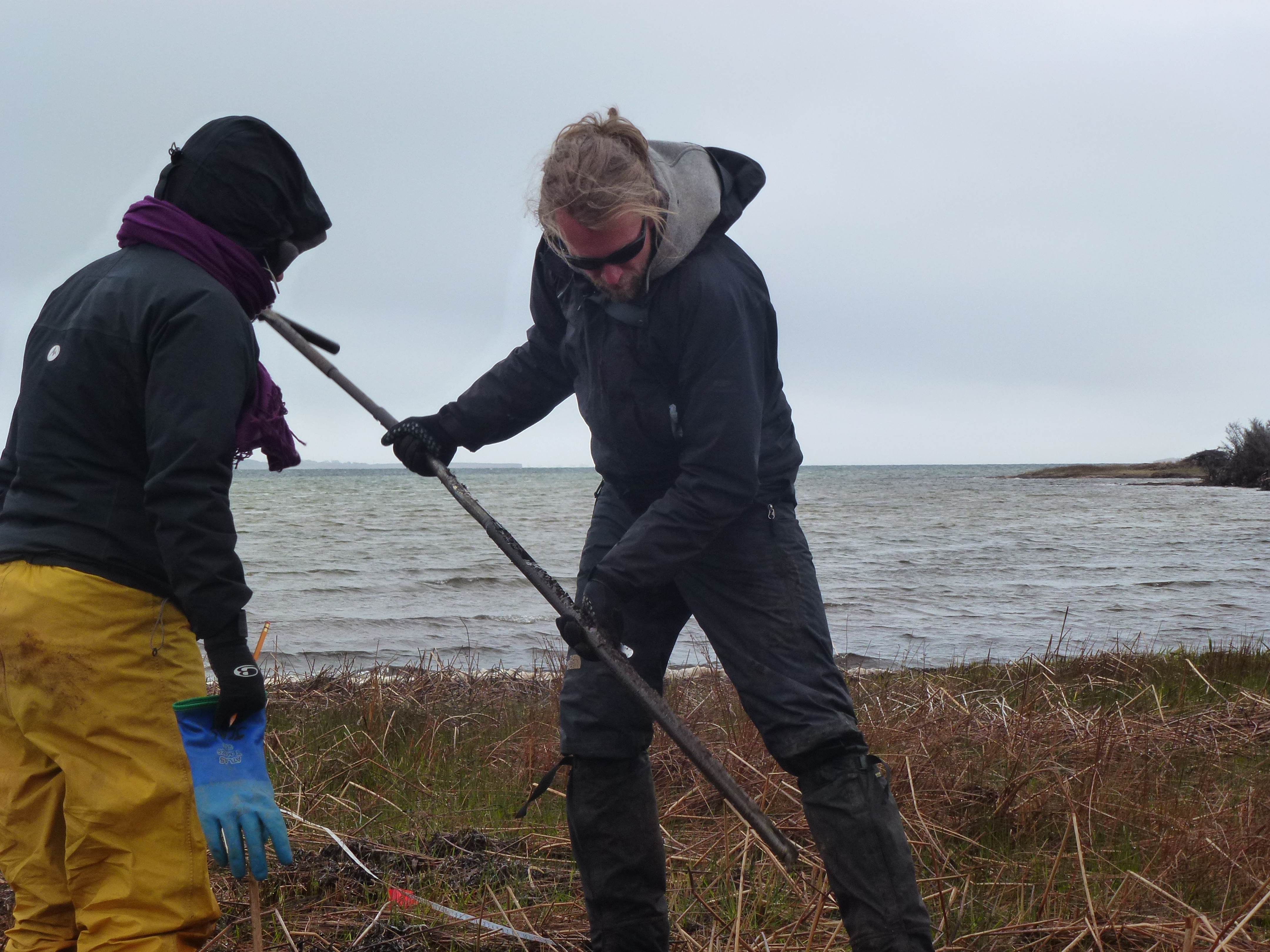
Recording subsurface lithostratigraphy using an eijkelkamp gauge auger
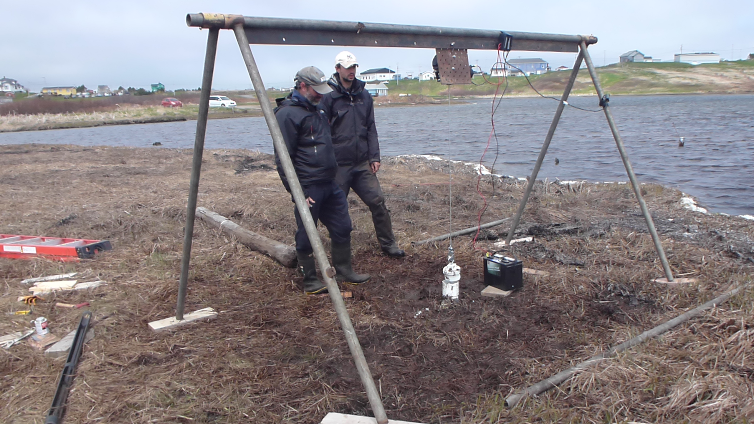
Collecting a sediment core for reconstructing sea levels over the last few thousand years
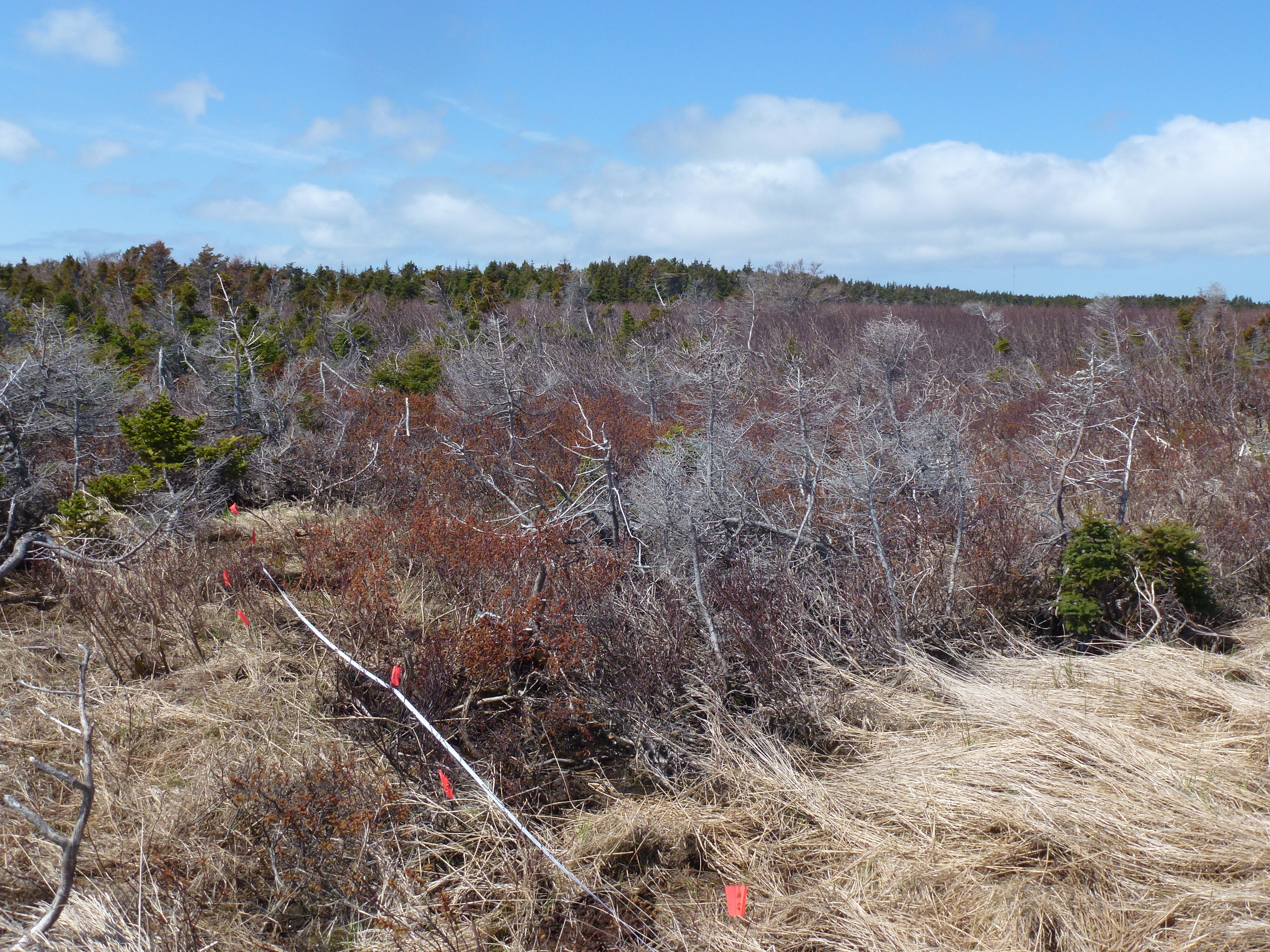
Retreating Alnus trees in the supratidal zone caused by rising sea levels and saline intrusion
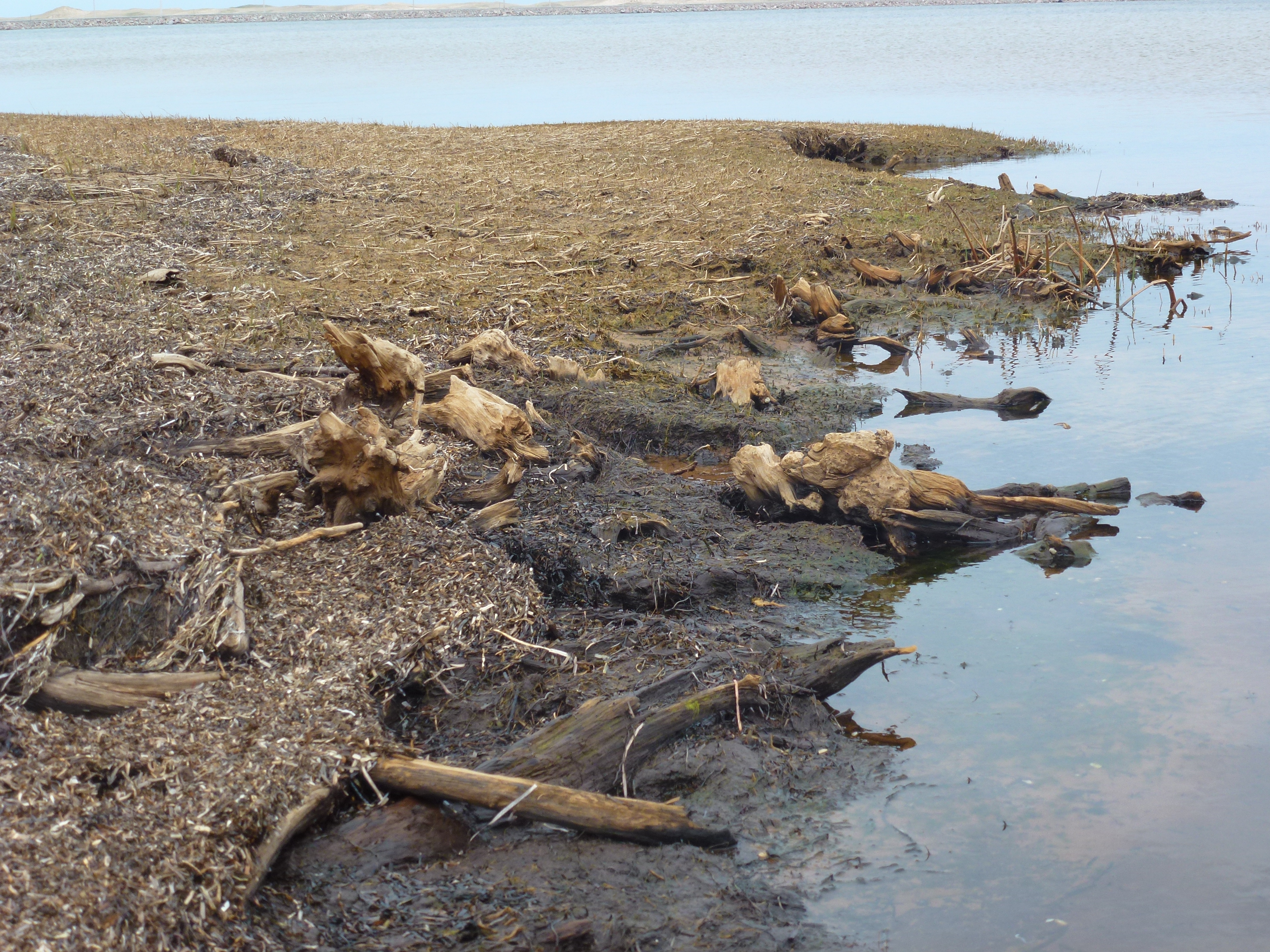
Submerged tree stumps, inundated by marine transgressions
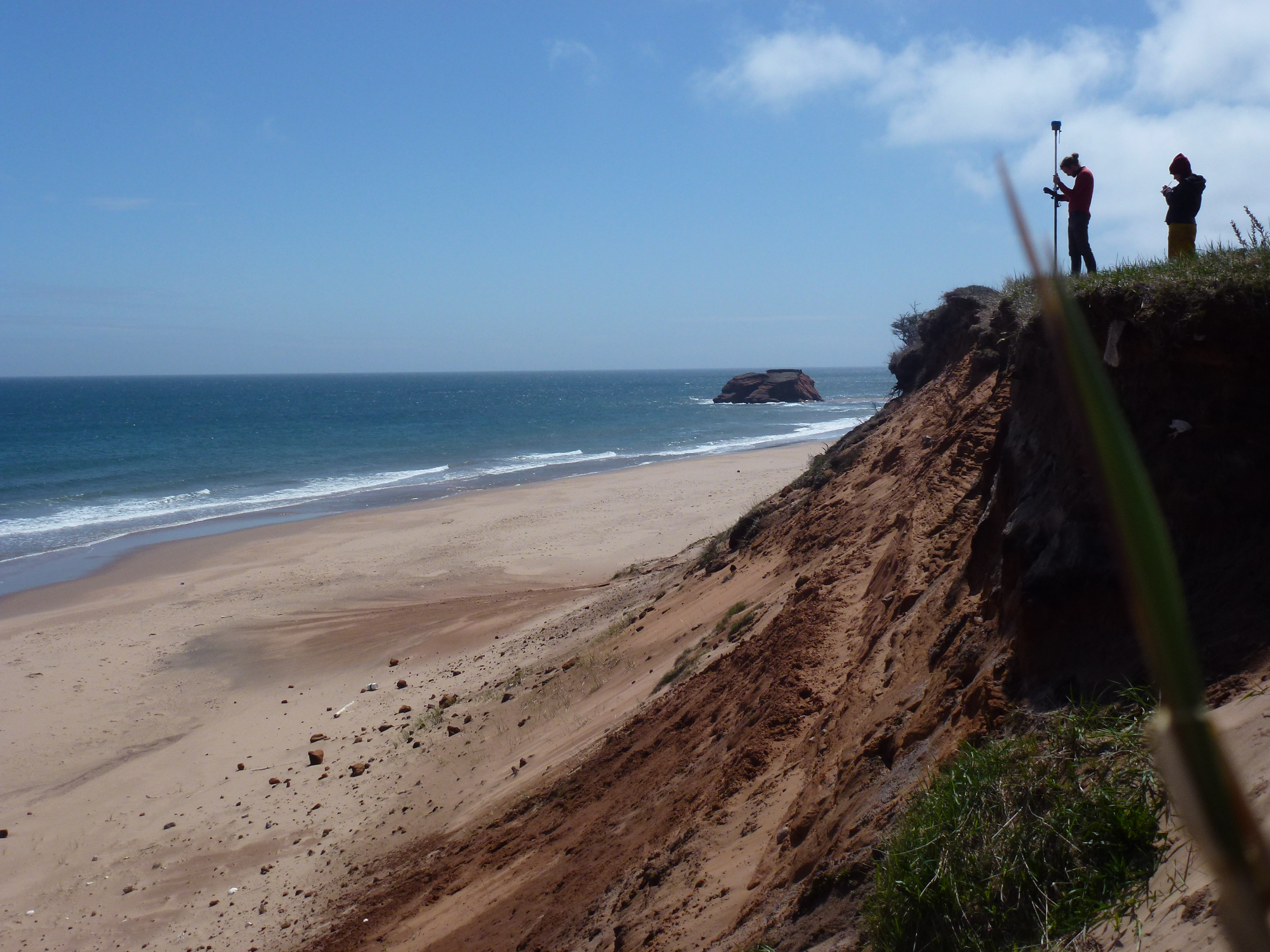
Poorly consolidated Quaternary sediments, at high risk from coastal erosion and sea-level rise
Projet de recherche : Nicole Sanderson
Paléohydrologie et accumulation du carbone pour le dernier millénaire dans les tourbières de Côte-Nord du St-Laurent, Québec
Résumé
Ce projet concerne la dynamique du carbone dans les tourbières de la Côte-Nord face aux changements écohydrologiques du dernier millénaire. Les objectifs principaux sont:
- Évaluer les taux d'accumulation de carbone durant le dernier millénaire (datation 14C) et durant les 150-200 dernières années (datation 210Pb) pour trois tourbières côtières ombrotrophes situées près de Baie Comeau, Havre-Saint-Pierre, et Blanc Sablon, QC.
- Reconstituer la profondeur de la nappe phréatique et la végétation dominante pour ces sites grâce aux analyses à haute résolution de thécamoebiens et de macrorestes. Ces derniers servent d'indicateurs de changements hydrologiques, tels la présence ou absence de pergélisol depuis le Petit Age Glaciaire.
- Comparer ces changements entre les deux régions ainsi qu'à l'intérieur de chaque région selon un gradient microtopographique d'humidité.
Paleohydrology and carbon dynamics for the last millenium in peatlands on the North Shore of St Lawrence, Quebec
Summary
This project investigates the sensitivity of peatland carbon dynamics to ecohydrological change including permafrost advance and degradation during the last millennium by:
- Quantifying changes in carbon accumulation rates for the last 1,000 years (14C dating) and the last 150-200 years (210Pb dating) for three coastal peatland regions near Baie Comeau, Havre-Saint-Pierre and Blanc Sablon, Quebec.
- Reconstructing changes in water table depth and vegetation for these sites using a high-resolution multi-proxy analysis using testate amoebae and plant macrofossils.
- Comparing these changes on regional (climatic) and local (microtopographical) scales.
Photos

Tourbière de Baie-Comeau
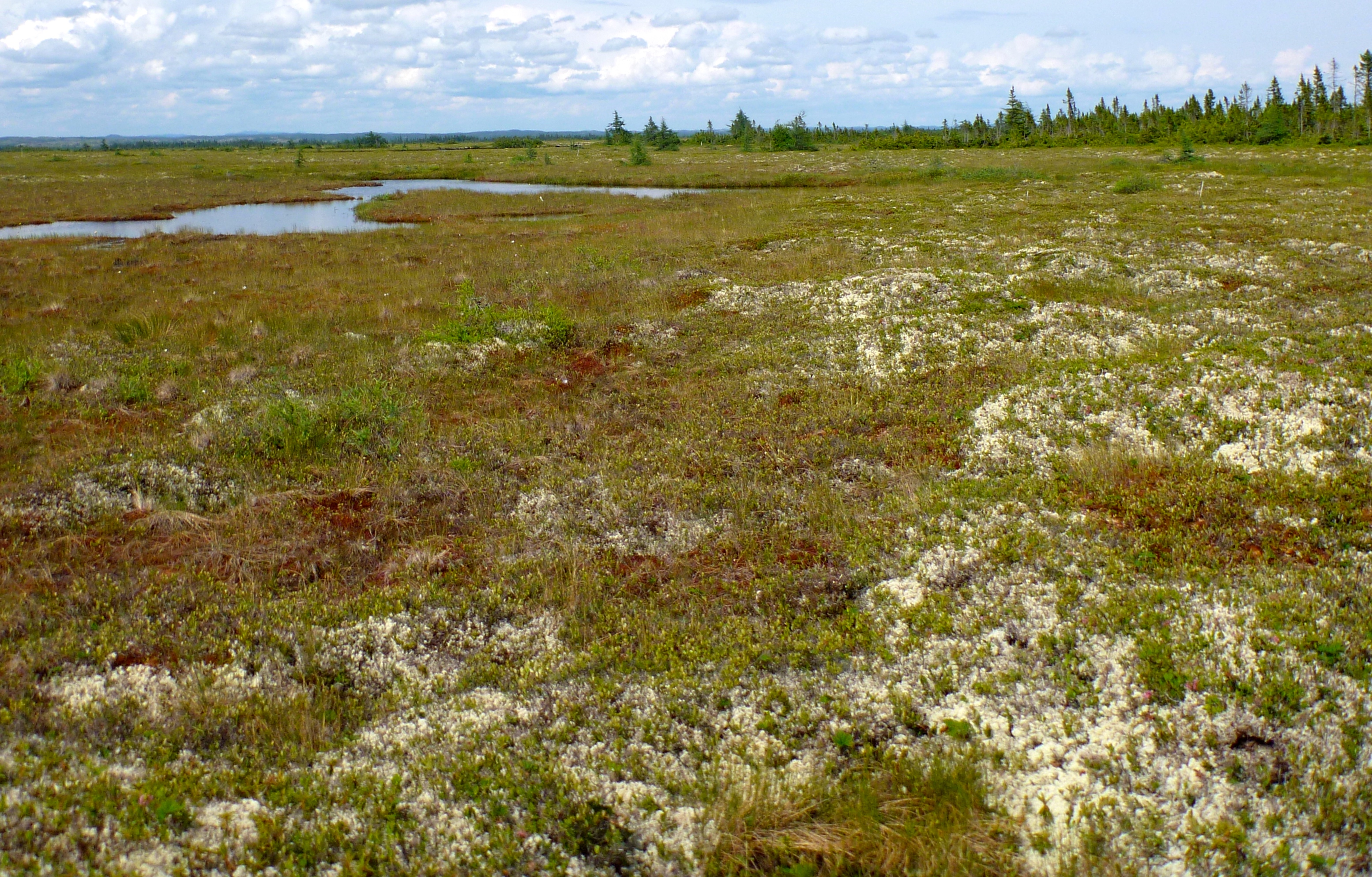
Tourbière de Havre St-Pierre
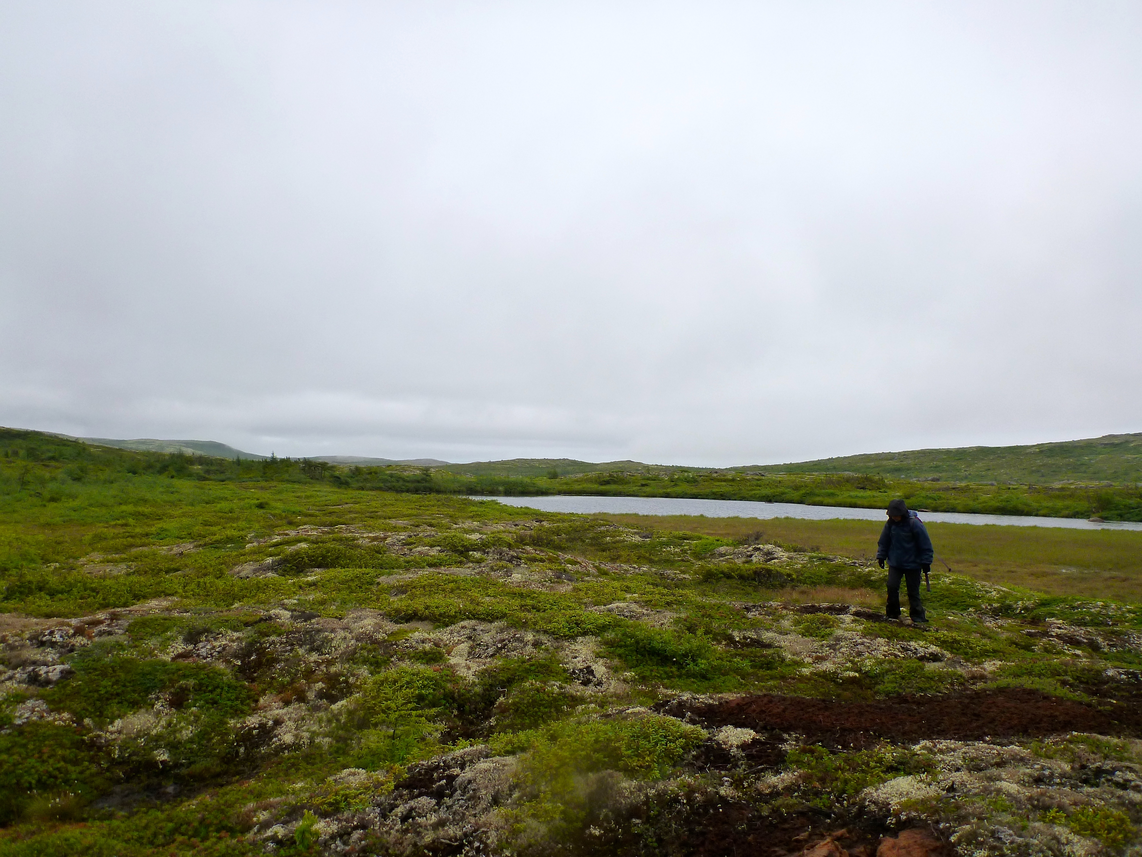
Palses dans la tourbière de Blanc-Sablon
Projet de recherche : Antoine Thibault
Caractérisation morphologique et stratigraphique des mares des tourbières ombrotrophe entre Baie-Comeau et Havre-Saint-Pierre, Côte Nord, Québec
Résumé
Le projet porte sur l’étude de l’évolution des mares et de la morphologie de surface des tourbières côtières ombrotrophe de l’estuaire et du Golfe du Saint-Laurent, Québec. Plus spécifiquement, il vise à identifier les différents processus internes (autogènes) et externes (allogènes) responsables des différences morphologique et stratigraphique des mares actuellement observable entre deux régions de la Côte Nord. Les analyses stratigraphiques des dépôts tourbeux ont été effectuées à l’aide d’un appareil géophysique, le Géoradar (GPR), et par l’analyse des macrorestes végétaux des sédiments récoltés au cours des campagnes de terrain à l’hiver 2011 et à l’été 2012. L’échantillonnage à été effectuer sur la tourbière Manicouagan à Baie-Comeau (49 ° 7'17 .42 "N, 68 ° 17'56 .80" O) et la tourbière Romaine dans la région d’Havre-Saint-Pierre (50 ° 17 '52 .61 "N, 63 ° 41'29 .81" O). La caractérisation morphologique et la cartographie des mares des deux tourbières ont été réalisées à l’aide d’analyses de données LIDAR (Hydro-Québec) et d’un DGPS. Ce projet de maîtrise réalisé par Antoine Thibault sous la direction de la professeure Michelle Garneau (GEOTOP, UQAM) sera complété d’ici l’été 2013.
Morphological and stratigraphical characterization of pools bog between Baie-Comeau and Havre-Saint-Pierre, North Shore, Quebec
Summary
This project focuses on the study of the evolution of pools and surface morphology of coastal peat bog in the Estuary and Gulf of St. Lawrence, Quebec. More specifically, it aims to identify the various internal processes (autogenous) and external (allogenic) responsible for differences in morphological and stratigraphic pools presently observable between two regions of the North Shore. Stratigraphic analyzes of peat deposits were made using a Ground Penetrating Radar (GPR), and by plant macrofossils analysis in sediments collected during field campaigns in the winter of 2011 and the summer 2012. The sampling was carried out on the Manicouagan bog Baie-Comeau (49 ° 7'17 .42 "N, 68 ° 17'56 .80" W) and the Romaine bog near Havre-Saint-Pierre (50 ° 17 '52 .61 "N, 63 ° 41'29 .81" W). The morphological pool characterisation was analyzed by using LIDAR data (Hydro-Québec) and a high-precision GPS (DGPS). This project is realised by a master student (Antoine Thibault) under the supervision of Professor Michelle Garneau (GEOTOP, UQAM) and will be completed by summer 2013.
Photos
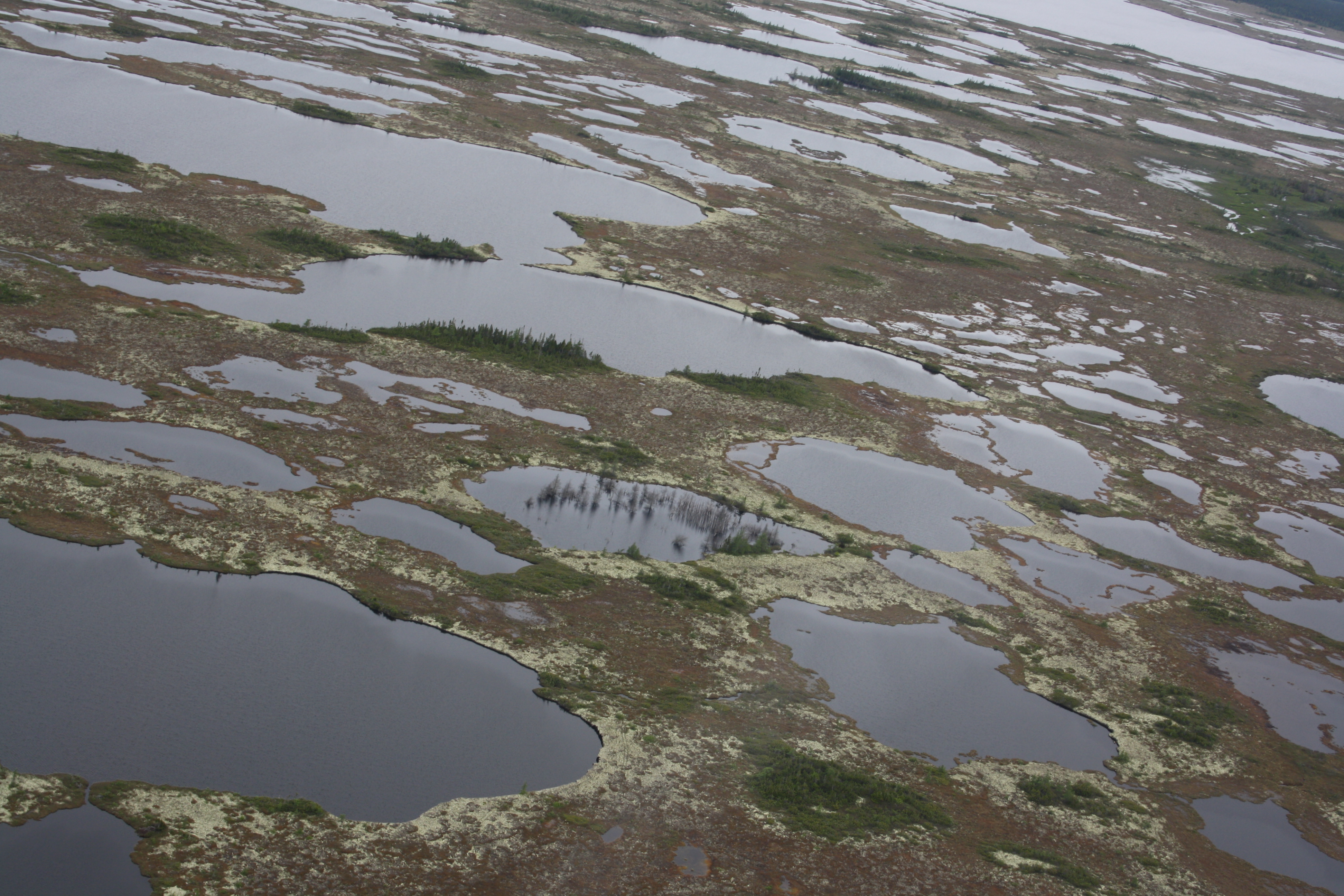
Vue aérienne de l’arrangement des mares de la tourbière Romaine à proximité d’Havre-Saint-Pierre. Aerial view of bog pools pattern from Romaine bog near Havre-Saint-Pierre
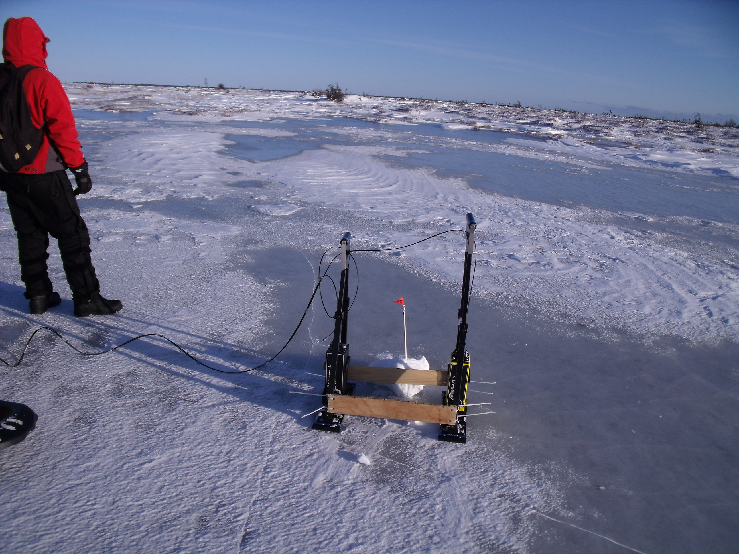
Levée Géoradar sur une mare gelée, tourbière Romaine, Havre-Saint-Pierre. GPR survey on a frozen pool surface, Romaine bog, Havre-Saint-Pierre.
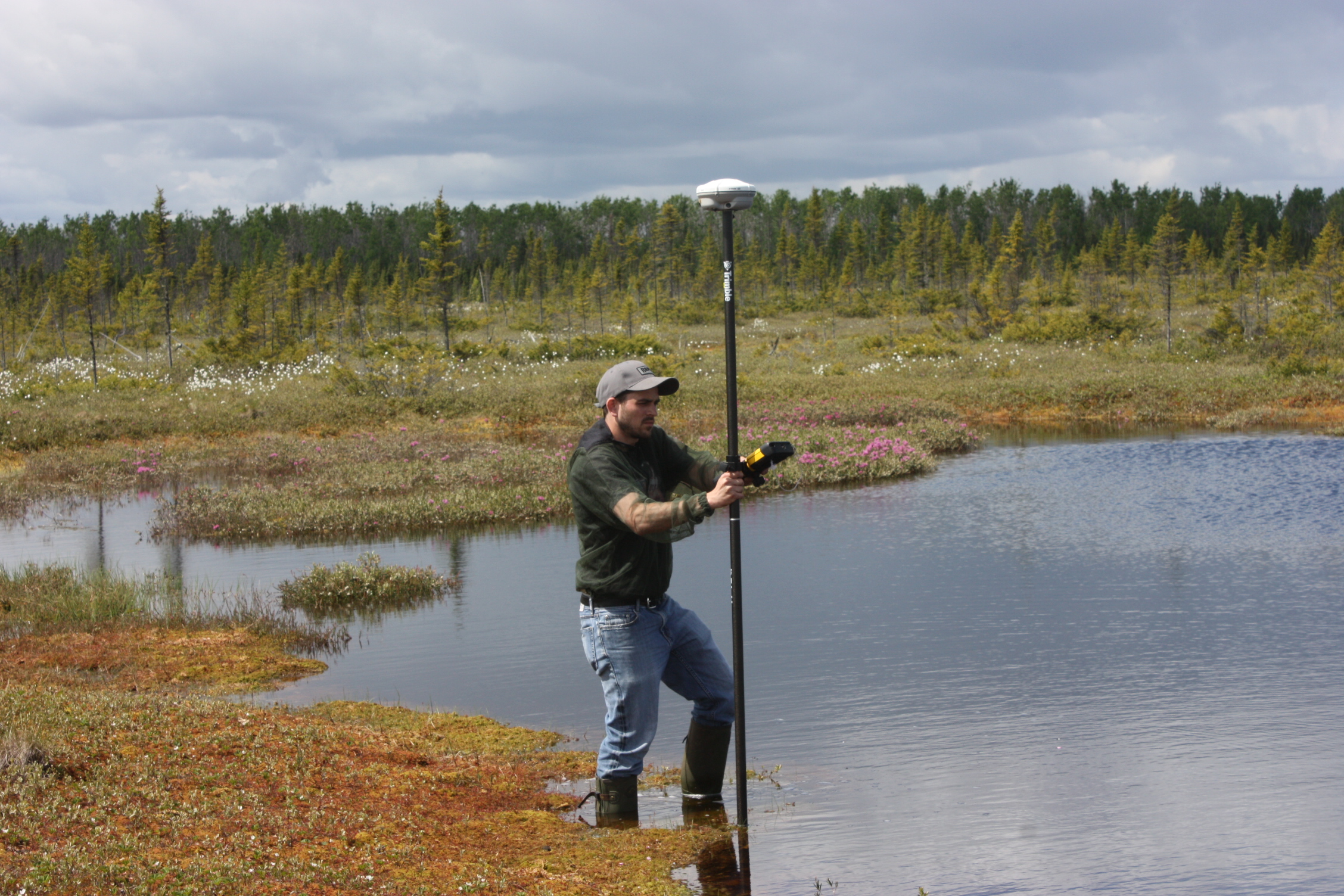
Numérisation des mares à l’aide d’un système de positionnement différentiel (DGPS), tourbière Manicouagan, Baie-Comeau. Pool numerization using Differential Global Positionning System (DGPS), Manicouagan bog, Baie-Comeau.
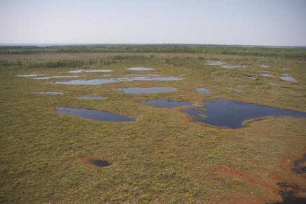
Vue aérienne de l’arrangement des mares de la tourbière Manicouagan à proximité de Baie-Comeau. Aerial view of bog pools pattern from Manicouagan bog near Baie-Comeau.
Projet de recherche : Simon van Bellen
Accumulation du carbone dans trois tourbières ombrotrophes de la région d’Eastmain, Québec, Canada : influence de l’hydrologie, de la végétation et des feux dans le contexte climatique holocène
Résumé
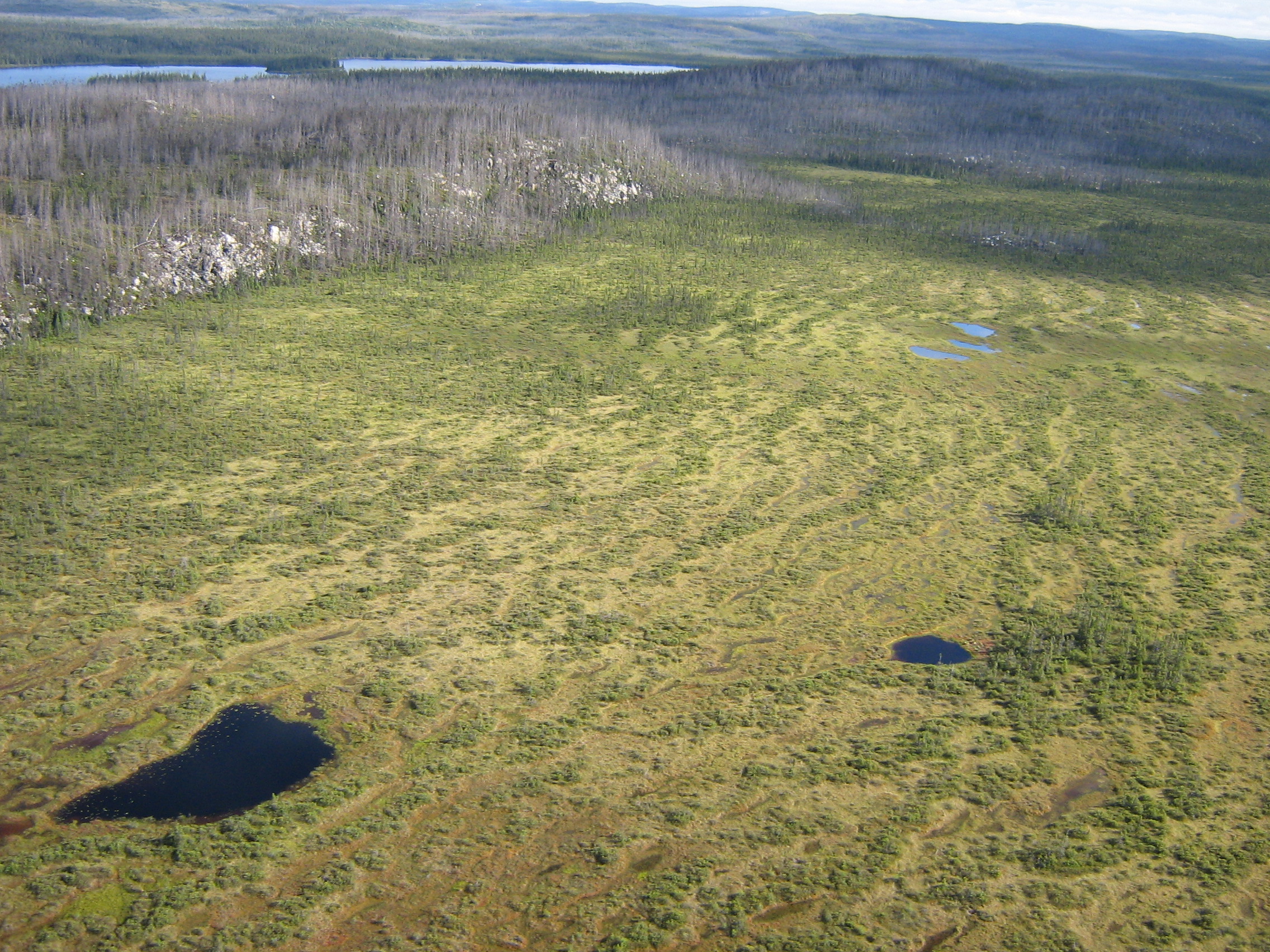
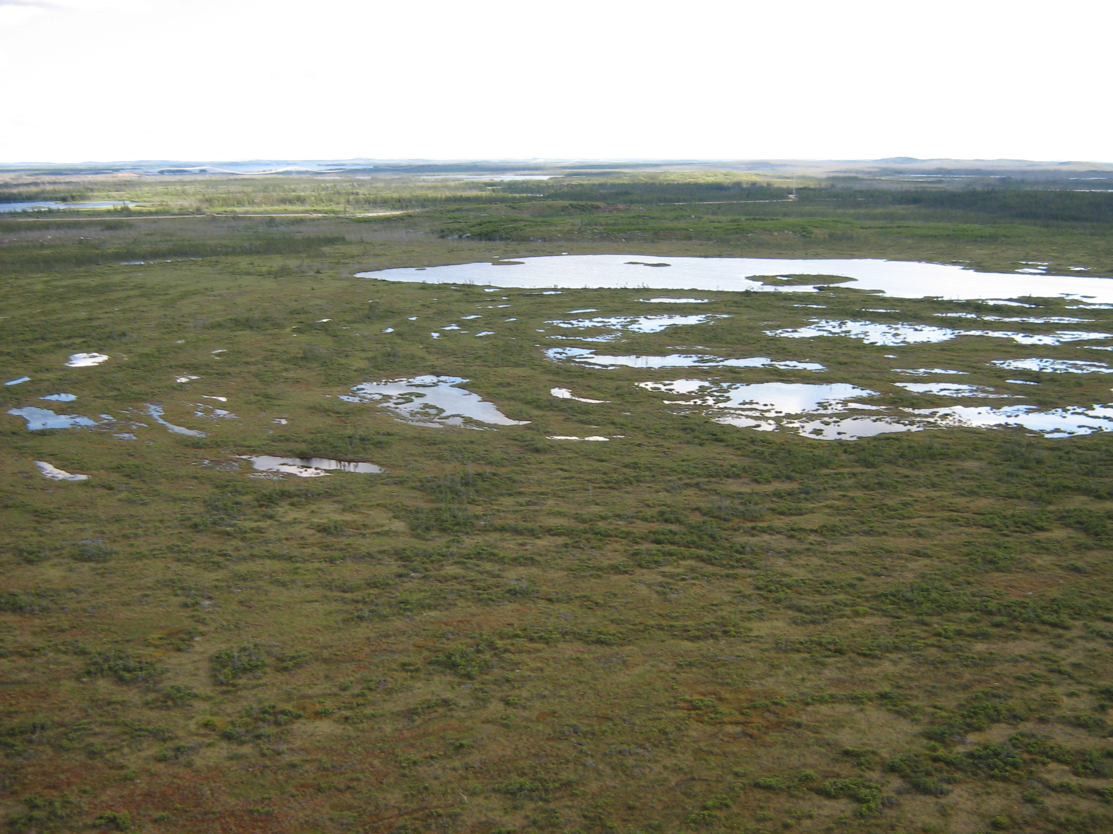
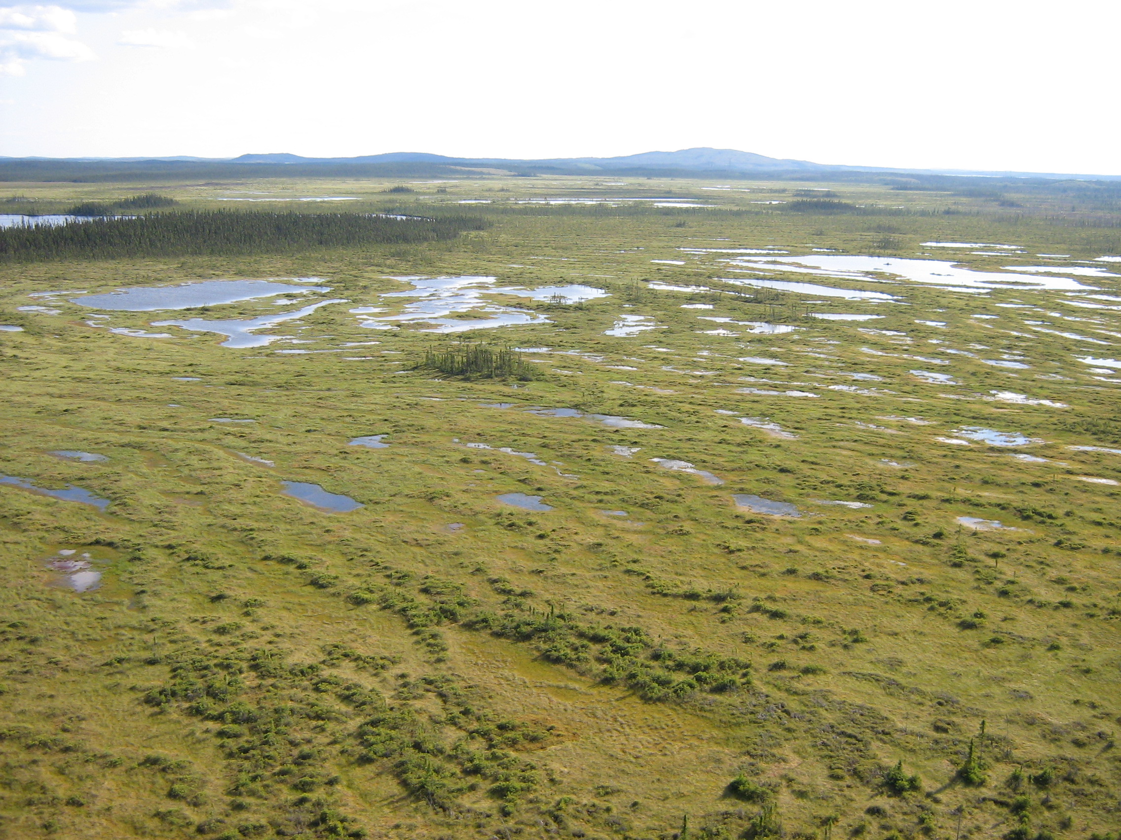
Trois tourbières ombrotrophes de la région d’Eastmain ont été étudiées afin de quantifier la dynamique holocène de l’accumulation du carbone et d’identifier l’influence à long terme de la végétation, de la nappe phréatique et des feux. Géoradar et sondages manuels ont été appliqués afin de créer des modèles spatiales des bassins tourbeux et de quantifier les volumes de carbone. Des carottes ont été analysées aux macrorestes végétaux, thécamoebiens et charbons macroscopiques. Dans la région, l’accumulation de la tourbe a commencé autour de 7500 années BP; le taux moyen d’accumulation était de 16.2 g C m-2 a-1. L’Holocène récent était caractérisé par une diminution des taux d’accumulation, correspondant aux épisodes de baisses des nappes phréatiques, probablement associées à un climat plus froid et à la persistance de lentilles de glace. L’absence d’une relation uniforme entre la présence des charbons et les taux d’accumulation indique que les feux n’ont pas été un facteur déterminant au cours de l’Holocène.
Carbon accumulation in three ombrotrophic peatlands of the Eastmain region, Quebec, Canada: influence of hydrology, vegetation and fire in the Holocene climatic context
Summary
Three ombrotrophic peatlands in the Eastmain region were studied in order to quantify Holocene carbon accumulation patterns and identify the influence of long-term vegetation, water table and fire dynamics. GPR and manual probing were applied to create spatial peat depth models and quantify peat basin carbon volumes. Cores were analyzed on plant macrofossils, testate amoebae and macro-charcoal. Regional peat accumulation started around 7500 years BP, while Holocene accumulation rates averaged 16.2 g C m-2 a-1. The late-Holocene was characterized by a decrease in accumulation rates, concomitant with short-term hydrological dry shifts, possibly associated with cooling conditions and persistent ice. The absence of a clear relationship between charcoal patterns and carbon accumulation shows that fires have not been a driving factor during the Holocene.
Photos
Projet de recherche : Simon van Bellen
Développement de tourbières minérotrophes suite aux conditions ombrotrophes en lien avec une augmentation de l’humidité à l’Holocène récent au Québec subarctique, Canada
Résumé
Les tourbières minérotrophes subarctiques du nord-est Canadien sont caractérisées par une dominance de mares et dépressions humides. L’objectif était de reconstituer les conditions hydrologiques du Holocène récent dans trois tourbières minérotrophes afin d’établir l’âge de développement des mares et dépressions humides et d’identifier des liens possibles avec des conditions climatiques. Des thécamoebiens et des macrorestes végétaux de cinq carottes ont été analysés afin de quantifier la dynamique des nappes phréatiques. Tous les sites montraient des conditions sèches et ombrotrophiques avec présence de Picea vers 5000 ans BP, suivi par un changement vers des conditions minérotrophes et humides et le développement des mares vers 3000 ans BP ainsi qu’un deuxième changement humide vers 800 ans BP. Ces tendances correspondent aux conditions froides et humides associées au Néoglaciaire et Petite Âge Glaciaire. Un climat futur plus humide pourrait augmenter le taux d’expansion des mares.
Poor fen succession over ombrotrophic peat related to late-Holocene increased surface wetness in subarctic Quebec, Canada
Summary
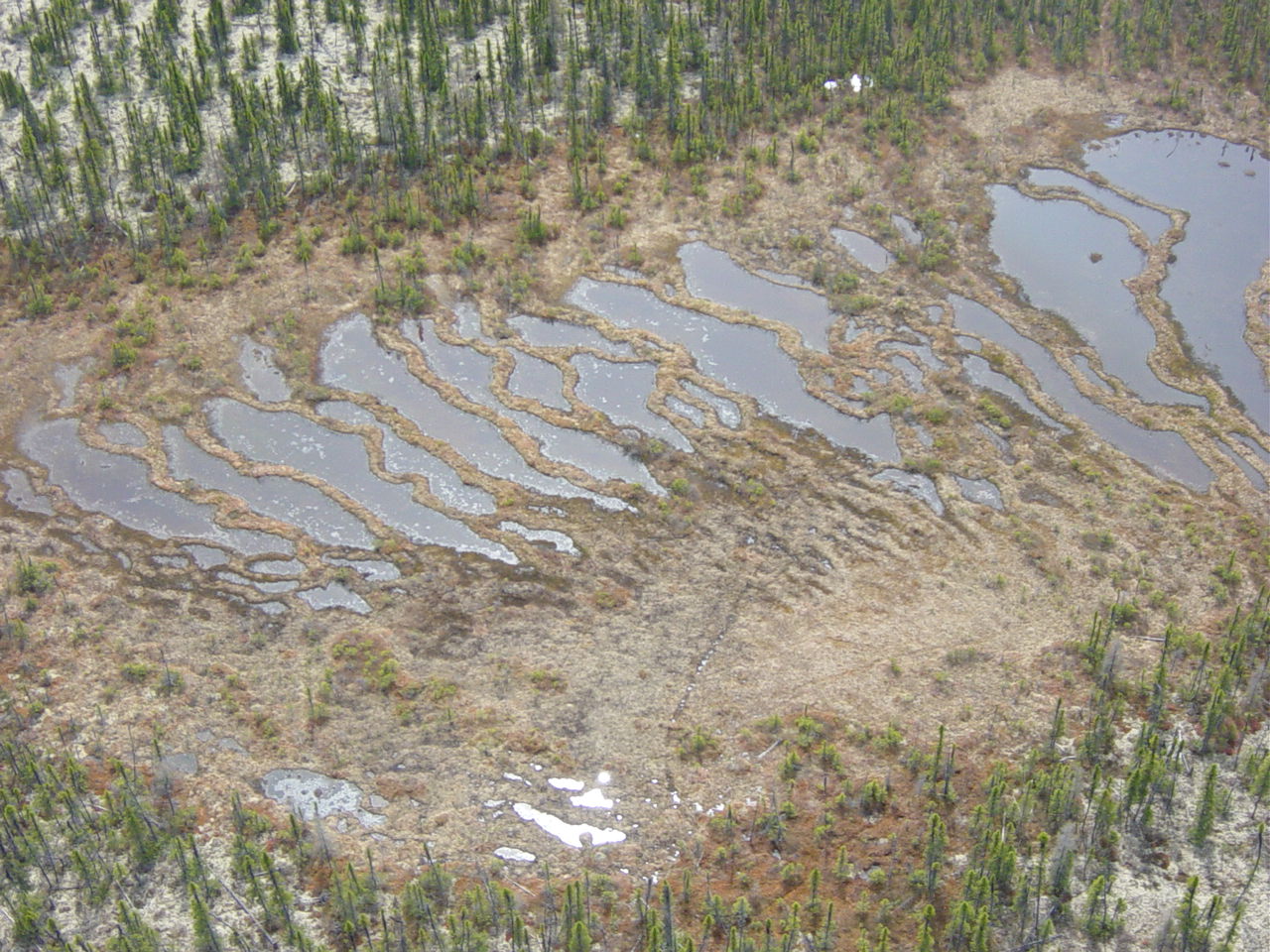
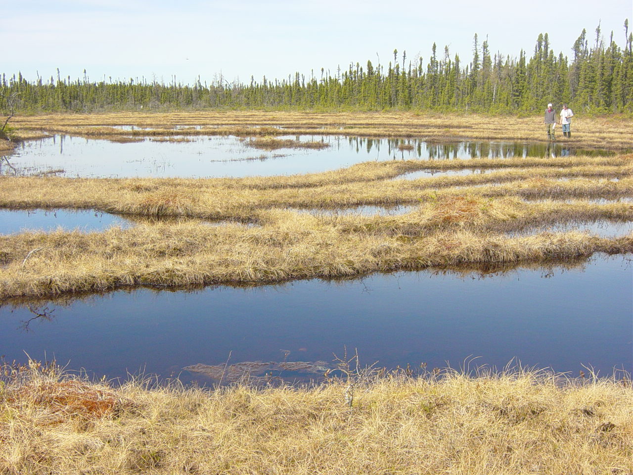
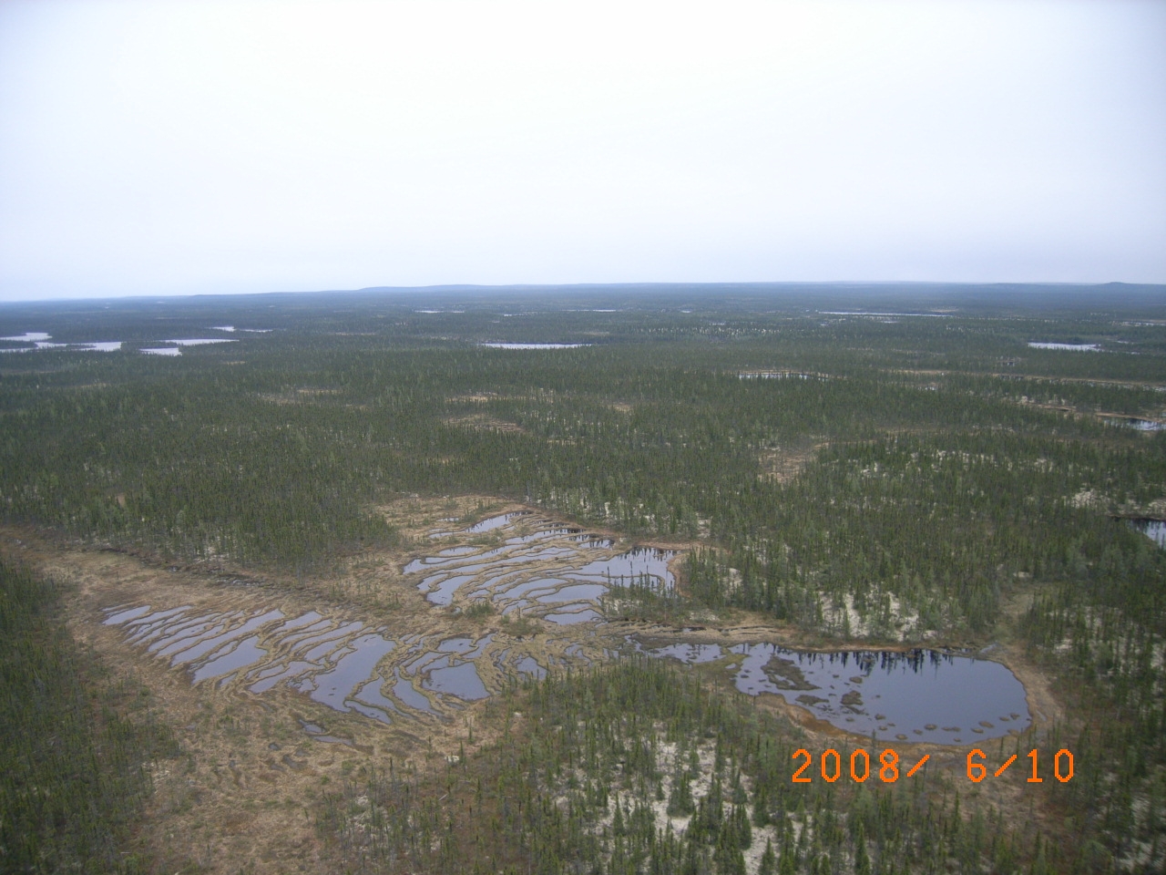
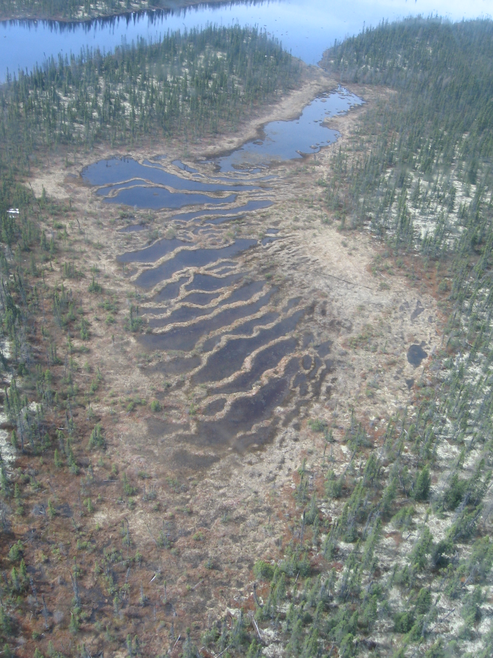
Subarctic patterned fens in northeastern Canada are characterized by a dominance of pools and flarks. We aimed to reconstruct the late-Holocene hydrological conditions of three poor fens to establish the timing of the initiation of pool and flark formation and possible linkage with climate. Testate amoebae and plant macrofossils from five cores were analyzed to infer past water tables. All sites showed initial presence of relatively dry, ombrotrophic conditions with abundant Picea from 5000 cal a BP, followed by a first shift to wet, poor fen conditions with pool and flark development around 3000 cal a BP and a subsequent wet shift after ~800 cal a BP. These trends coincide with previously observed Neoglacial and Little Ice Age cooler and wetter conditions. Future wetter climate might enhance pool expansion to the detriment of terrestrial components.
Photos
Projet de recherche : Mathieu Lemay-Tougas
Distribution des palynomorphes dans les sédiments marins au large de Pointe-des-Monts : Étude sur l’évolution des écosystèmes tourbeux de la Côte-Nord du Québec au cours de l’Holocène
Résumé
Le projet porte sur la documentation des conditions climatiques lors de l’Holocène qui auraient favorisé les processus d'accumulation et de décomposition dans les milieux tourbeux sur la Côte-Nord du Québec. Cette reconstruction paléoclimatique est établie à partir d’analyses palynologiques faites sur des sédiments marins échantillonnés au large de Pointe-des-Monts dans le Golfe du Saint-Laurent. Les données terrestres recueillies dans des écosystèmes tourbeux des régions d’Havre-Saint-Pierre et de Baie-Comeau lors de projet d’études parallèles (Sauvé mémoire en cours, Magnan thèse en cours) seront combinées aux profils climatiques afin d’établir des corrélations.
Palynomorphes distribution in marine sediment off Pointe-des-Monts: Evolution of peatlands on North Shore of Quebec during the Holocene
Summary
This master thesis project focuses on documenting the climatic conditions during the Holocene, which would have favored the process of accumulation and decomposition in peat bogs on the North Shore of Quebec. The paleoclimatic reconstruction will be established from palynological analyzes made on marine sediments sampled off shore of Pointe-des-Monts in the Gulf of St. Lawrence. The data collected in peatlands from the regions Havre-Saint-Pierre and Baie-Comeau in parallel studies project (SauvéM Sc in progress, , Magnan Ph D in progress) will be combined with climate profiles to establish correlations.
Photos

Projet de recherche : Valérie Lefrançois
Bilan de carbone (CO2, CH4 et DOC) des tourbières naturelles, en récolte et restaurées des régions du Lac-Saint-Jean et de la Côte-Nord, Québec.
Résumé
Le projet réalisé en partenariat avec l’Association des producteurs de tourbe horticole du Québec (APTHQ) vise à quantifier le stock de carbone pré-exploitation par la méthode de perte au feu (PAF), à expliquer la contribution des tourbières en récolte aux émissions et exportations de carbone, et à évaluer l’efficience de la restauration pour le retour de la fonction de séquestration du carbone au moyen de chambres statiques et de mesures hydrologiques. Le projet débuté au printemps 2012 est réalisé par une étudiante de maitrise (Valérie Lefrançois) sous la direction de la professeure Michelle Garneau (GEOTOP, UQAM) aux tourbières de Sainte-Marguerite-Marie au Lac Saint-Jean (Farfard et frères) et de Pointe-Lebel sur la Côte-Nord (Premier Tech).
Trois campagnes de terrain se sont échelonnées sur la saison de croissance de 2012 afin de réaliser l’installation des stations de mesures, la collecte de données et l’échantillonnage des gaz, de l’eau des canaux de drainage ainsi que de carottes de tourbe. Une seconde série de campagnes sera menée au cours de la saison de croissance de 2013 afin d’obtenir un bilan de carbone sur deux saisons de croissance et de récolte de tourbe.
CO2, CH4 and DOC budget from natural, harvested and restored peatlands in Lac-Saint-Jean and Côte-Nord regions, Québec.
Summary
The project in partnership with the Quebec peat moss producers association (APTHQ) aims to quantify the carbon stocks prior to exploitation by lost-on-ignition technique, measure the contribution of peat extraction activities to carbon emissions and exports and evaluate the restoration efficiency with the re-establishment of long-term carbon sink function using static chambers and hydrological measurments. The research is carried out by a master student (Valérie Lefrançois) under the supervision of professor Michelle Garneau at Sainte-Marguerite-Marie (Farfard et frères) and Pointe-Lebel (Premier Tech) peatlands. Three field campaigns were conducted over the 2012 growing season to complete the measurement stations installation, data collection, and gas, ditch water as well as peat cores samplings. A second series of field campaigns will be conducted over the growing season of 2013 to obtain the carbon budget over two growing seasons and two peat harvest periods.
Photos
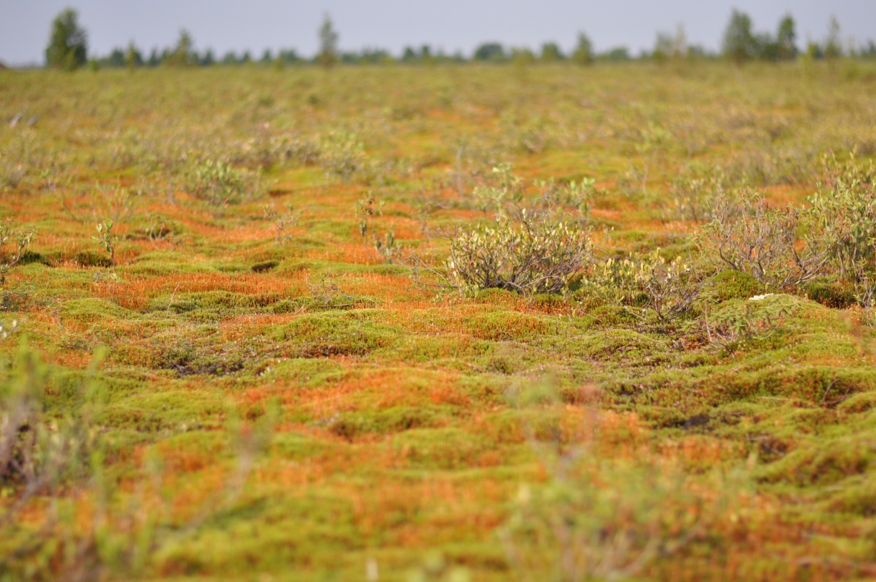
Tourbière restaurée. Restored peatland. Sainte-Marguerite-Marie, Lac Saint-Jean, Québec.
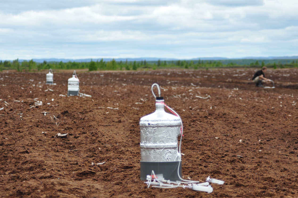
Échantillonnage de méthane sur une tourbière en récolte. Methane sampling on harvested peatland. Pointe-Lebel, Côte-Nord, Québec.
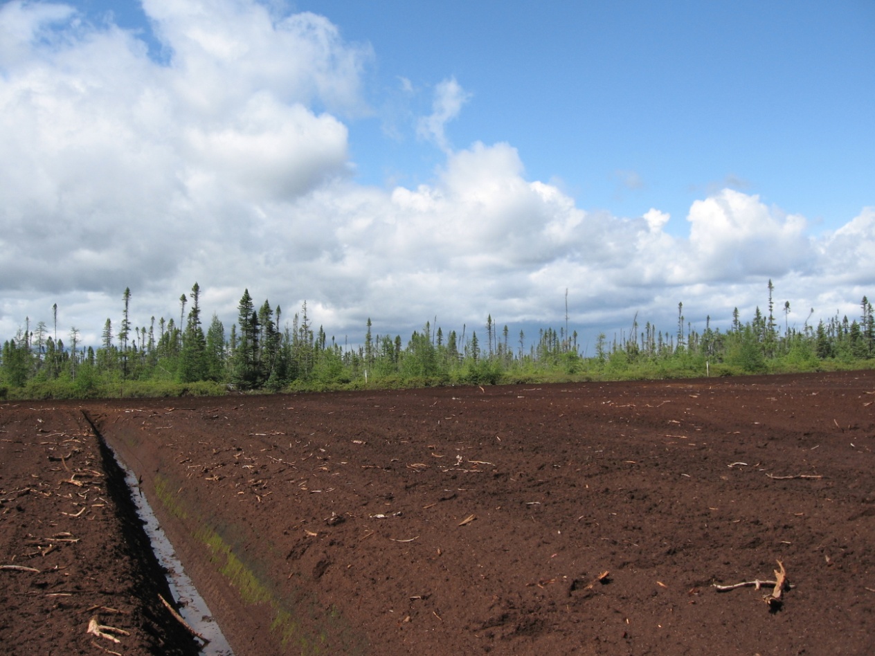
Tourbière en récolte. Harvested peatland. Sainte-Marguerite-Marie, Lac Saint-Jean, Québec.
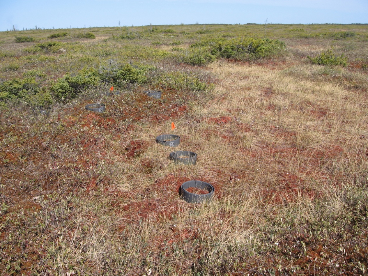
Tourbière naturelle. Natural peatland. Pointe-Lebel, Côte-Nord, Québec.
Projet de recherche : Noémie Cliche-Trudeau
Étude de la détérioration des conditions de drainage des tourbières minérotrophes dans la région de Laforge (Baie James) associée aux variations du climat au cours des derniers siècles
Résumé
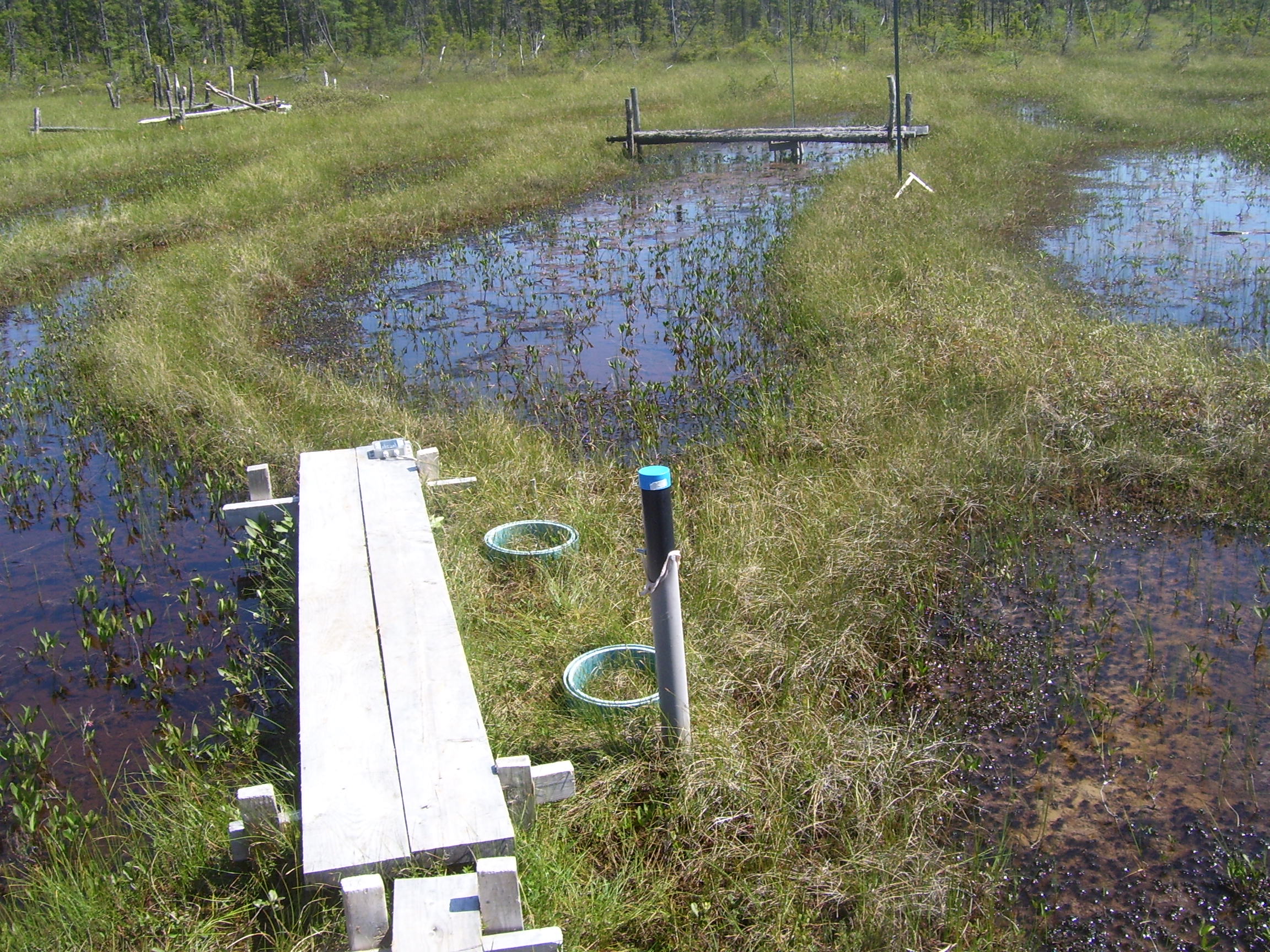
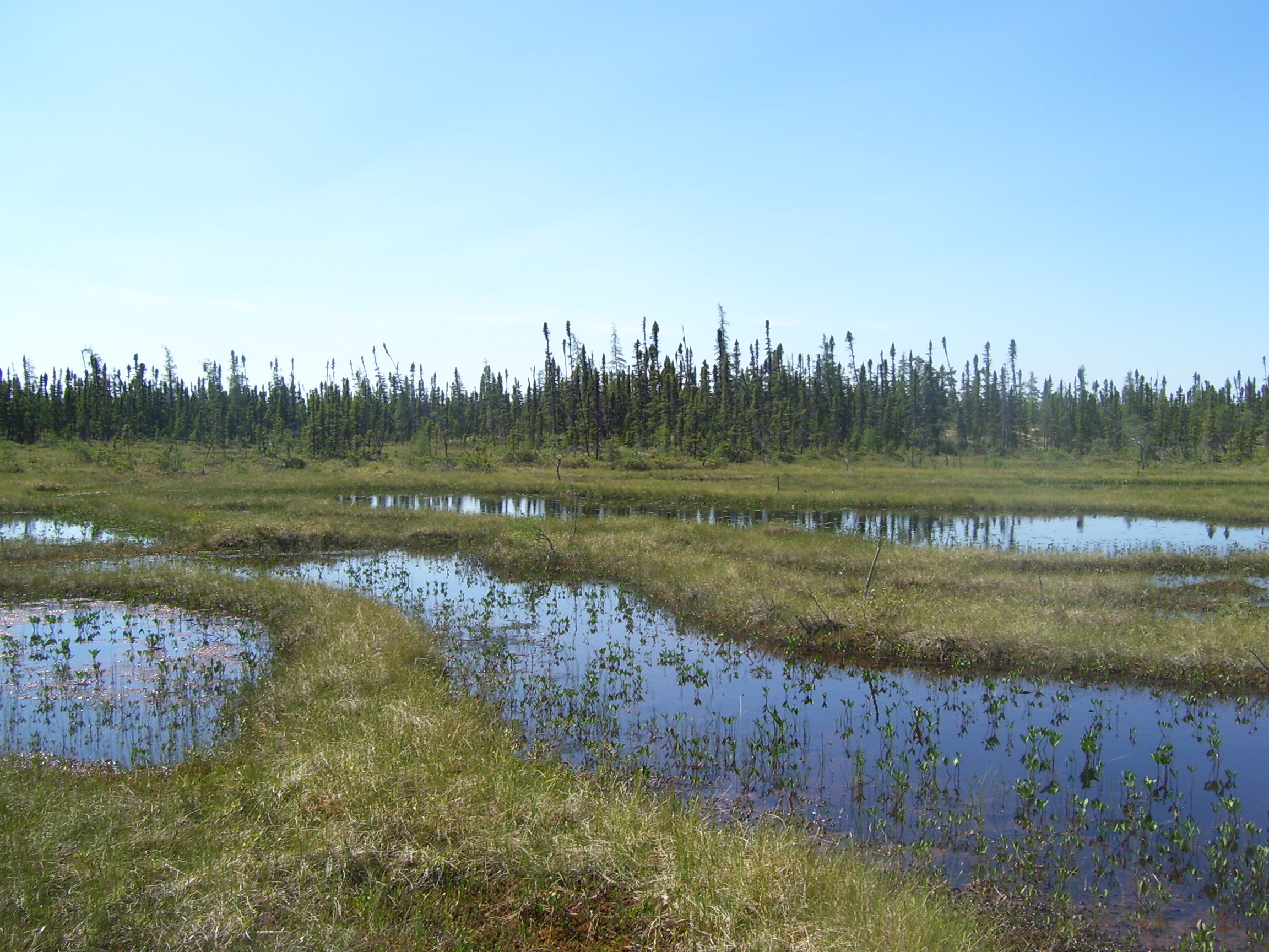
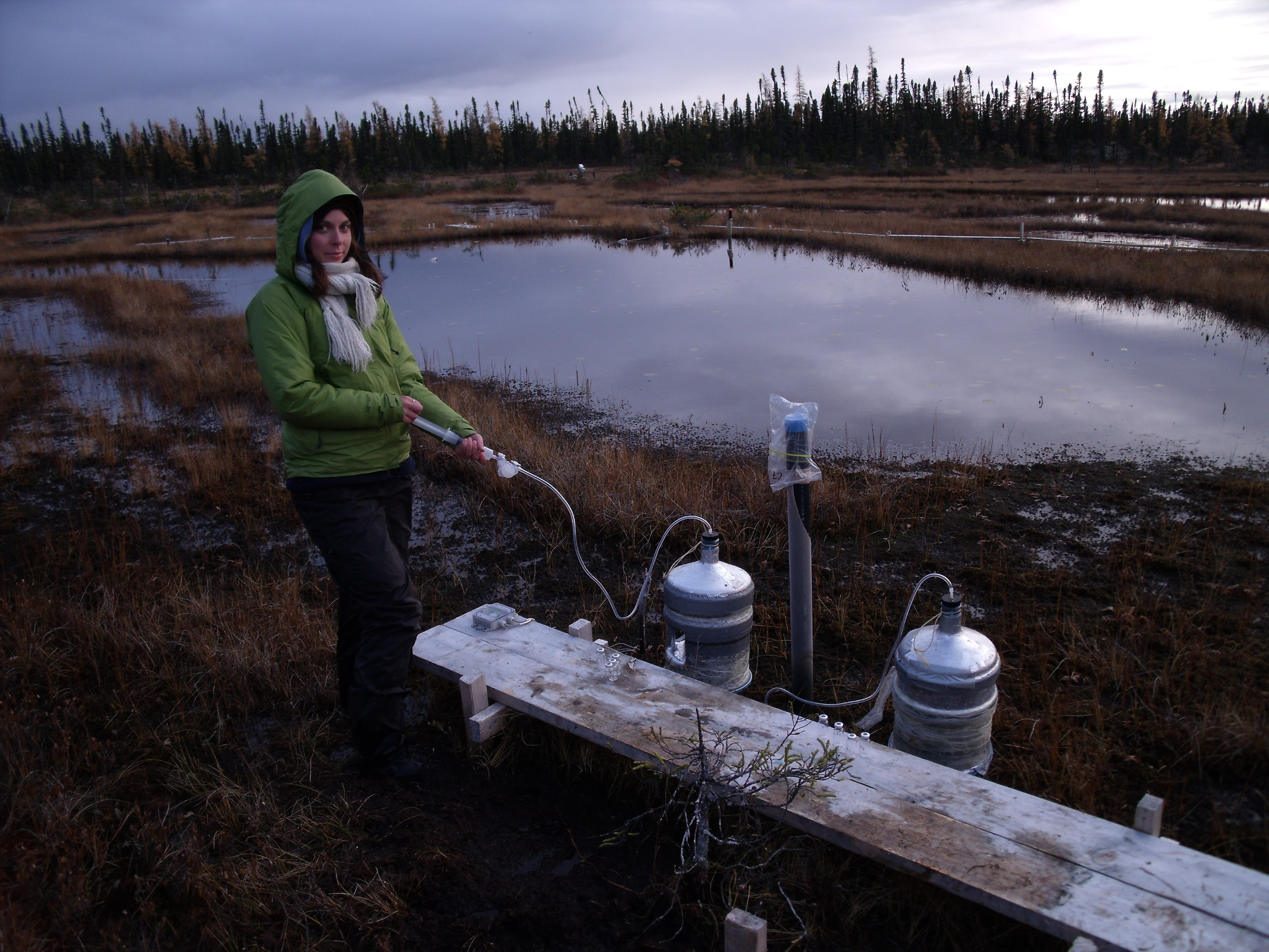
Une hausse des conditions d’humidité enregistrée depuis le Petit Age glaciaire a entraîné une hausse de la nappe phréatique régionale dans la région de La Forge, Baie James. Il résulte de ce phénomène une augmentation de la superficie couverte par les mares au détriment des portions terrestres des tourbières favorisant le maintien de biotopes caractérisés par une nappe phréatique affleurante. Dans une tourbières de la région, les flux de méthane (CH4), dioxyde de carbone (CO2) ont été mesurés au cours des saisons de croissance de 2009 et 2010 afin de déterminer l’influence d’une nappe phréatique affleurante et d’une importante proportion de mare sur le bilan annuel du carbone. L’identification des contrôles environnementaux a permis la modélisation du budget annuel de carbone de la tourbière Abeille. La tourbière à l’étude a été une source de carbone durant les deux années échantillonnées.
Trois variables permettent d’expliquer ce phénomène :
- la durée de la saison froide qui représente 210-214 jours d’émissions nettes de CO2 vers l’atmosphère,
- le fort ration de mares/surfaces terrestres étant donné que les mares constituent une source nette de CO2 et représente 60-68% du budget annuel de la tourbière et
- les conditions hydroclimatiques durant la saison de croissance puisque des conditions chaudes et sèches en 2009 ont inhibé la photosynthèse et entraîné une hausse de la respiration.
Ce projet de maîtrise à été réalisé sous la direction de Michelle Garneau dans la région de Laforge, Baie James entre juin 2009 et juin 2011.
Drainage deterioration in fens from the region Laforge (James Bay) associated with climate variability over the last centuries
Summary
Following an increase of the humidity conditions since Little Ice Age, overall water tables have been raising in the La Forge region (James Bay), allowing an increase in pool density in the peatlands and a high presence of microforms with a water table close to peat surface. In a peatland of the region, fluxes of methane (CH4) and carbon dioxide (CO2) were measured during 2009 and 2010 growing seasons in order to document the influence of a high water table and a high proportion of pool compartments on the annual carbon budget. Identification of the environmental controls allowed the modelling of the annual carbon budget of the peatland. During the two year of measurements, the studied peatland represented a net source of carbon to the atmosphere. This high CO2 source can be attributed to three factors: (1) the length of the cold season which represented 210 to 214 days of net CO2 loss (2) a high pool/vegetated surface ratio since pools are net source of CO2 and presented 60-68% of the annual CO2 budget and (3) hydroclimatic conditions during the growing season as dryer and warmer conditions in 2009 reduced photosynthesis and increased respiration rates.
Photos
Projet de recherche : Gabriel Magnan
Paleohydrologie et dynamique du carbone dans les tourbières ombrotrophes de la Côte-Nord du Québec, nord-est du Canada
Résumé
Ce projet vise à évaluer le rôle des variations hydroclimatiques holocènes sur le développement à long terme des tourbières ombrotrophes (bogs) de deux régions écoclimatiques de la Côte-Nord (Baie-Comeau et Havre St-Pierre). Dans le cadre de ce projet, nous avons :
- reconstitué les successions végétales et l’histoire des feux,
- évalué la dynamique à long terme du carbone (8 tourbières) et
- reconstitué les variations paléohydrologiques (4 tourbières). Nos données montrent d’importants contrastes régionaux dans la paleohydrologie et la dynamique du carbone suggérant que le climat a joué un rôle important dans le développement à long terme de ces tourbières le long de l’estuaire et du golfe du St-Laurent.
Holocene paleohydrology and carbon dynamics in the ombrotrophic peatlands of the Québec North Shore, Northeastern Canada
Summary
This project aims to evaluate the role of Holocene hydro-climatic variability on the long-term development of the ombrotrophic peatlands (bogs) of two ecoclimatic regions of the Québec North Shore (Baie-Comeau and Havre St-Pierre). In the context of this project we have :
- reconstructed the long-term vegetation successions and fire histories (6 peatlands)
- evaluated the long-term carbon dynamics (8 peatlands) and
- reconstructed the paleohydrological variations (4 peatlands). Our data show contrasting regional patterns in the carbon dynamics and the paleohydrology which reflect a pervasive climatic influence on long-term peatland development along the St-Lawrence estuary and the gulf of St-Lawrence.
Photos